

Orlando weather: Hot, humid week with afternoon storms; tropics active with potential Gabrielle

Orlando Weather Forecast PM: September 4th, 2025
FOX 35 Storm Team Senior Meteorologist Noah Bergren is tracking the tropics and potential Gabrielle.
ORLANDO, Fla. - Typical afternoon thunderstorms driven by sea breezes and daytime heating are returning to Central Florida.
What will the weather be like tonight?
What to Expect:
Hit-and-miss showers are expected this evening, with storms forming tapering off after 9 p.m. Lows will drop into the 70s.

What will the weather be like on Friday?
What to Expect:
Storms will be most likely from Eastern Orange County through Osceola and Brevard counties, as winds push activity to the southeast. The heavier storms could produce gusty winds, heavy rain, and occasional small hail.

Rain chances will peak between 2 p.m. and p.m.

The rain will keep temperatures in the low 90s.

Overnight skies on Friday are expected to clear, with lows in the mid-70s and muggy conditions persisting.
What will the weather be like this weekend?
What to Expect:
Another surge of moisture will raise the likelihood of afternoon and evening showers, with storms lingering into the early overnight hours. The disturbance is expected to be short-lived, with scattered storms returning over the weekend.

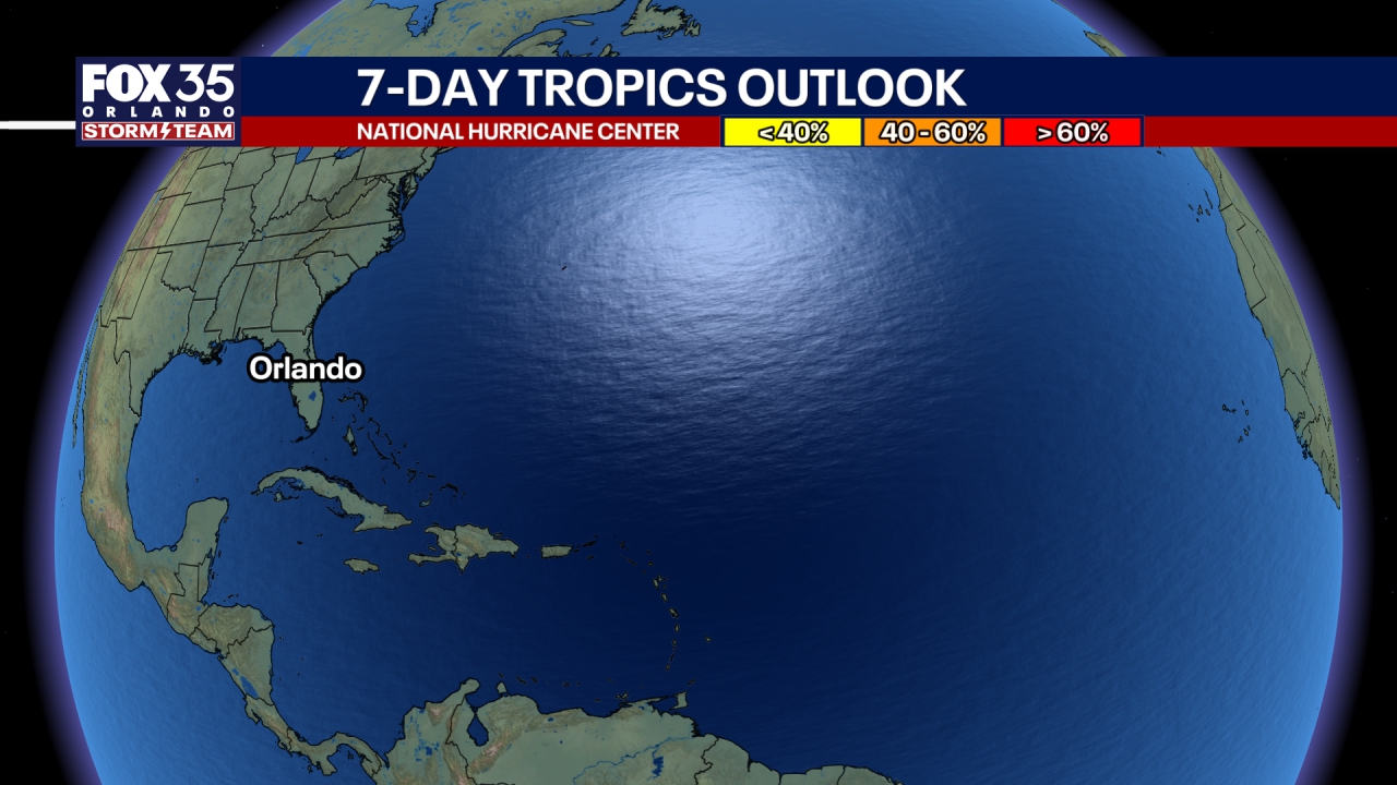
Tracking the Tropics
What to Expect:
Tropical activity is picking up again after the quiet stretch since Cat 5 Hurricane Erin, with a system likely to become Gabrielle forming by this weekend. While some models suggest it could curve away safely out to sea, others track the system closer to the U.S. in about two weeks.
It remains very highly uncertain and its impact on the US can not be dismissed. Faster development would favor an earlier curve away into the open ocean. A slower development could bring it nearer to land. Potential impacts in the Leeward Islands are possible by midweek, and it may strengthen into a hurricane soon after.
This wave will continue to hold a westward path, but the steering pattern and models are currently suggesting that it will sweep away from the U.S. with most likely being rough surf the main threat, but this is still too early to pin down at this moment.
The Atlantic offers many track scenarios, but there’s plenty of time to watch. Cruises will remain unaffected for at least the next week and a half, and it’s best to avoid alarmist posts from unreliable sources, as they'll become plentiful with at least one reputable computer models (EURO) showing a likely unrealistic, but dramatic future map of the placement of future Gabrielle.
The Source: The information in this article comes from the FOX 35 Storm Team Meteorologists on September 4, 2025.