

Orlando weather: Fire risk rises this week in Central Florida as dry, windy conditions return
Orlando Weather Forecast: Florida on fire; high brush fire threat Thursday in Orlando
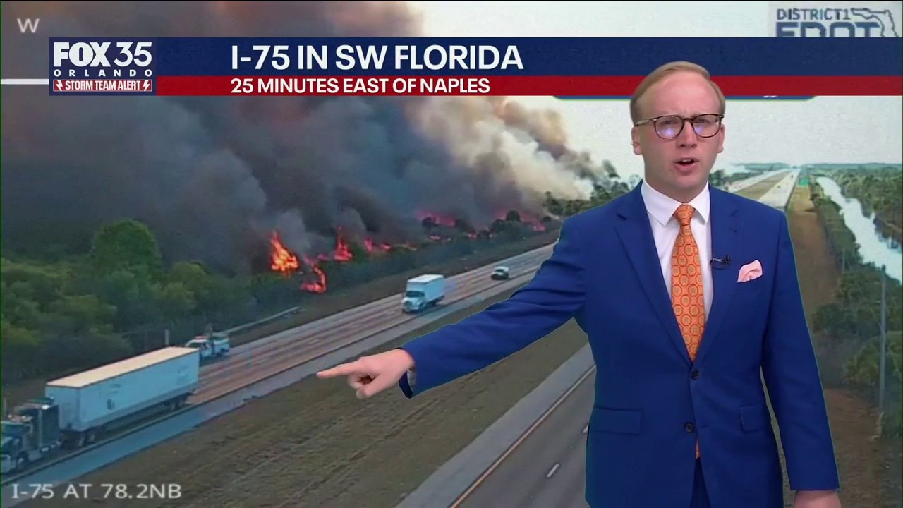
FOX 35 Storm Team Senior Meteorologist Noah Bergren is tracking wildfires across Florida, and a chance for rain in central Florida Friday night. When rain arrives and when fire threats end.
ORLANDO, Fla. - Central Florida will see an elevated wildfire threat this week as dry air and gusty winds move across the state.
Rain chances return late Friday into early Saturday, with thunderstorms possible during the evening and overnight hours, though the weekend is not expected to be a washout.
Another chilly night
What To Expect:
Although temperatures will turn cold once again overnight, they won't be quite as cold as what was felt Tuesday morning. However, temperatures will still plunge into the 30s for lows for the majority of Central Florida. Some spots northwest of I-4 could see temperatures at or below the freezing mark.

Warmer weather the rest of the week
Looking Ahead:
For the rest of the work week, we'll see temperatures warm up in a big way.
Plan for Wednesday's highs to soar into the low 70s and even warmer by Thursday as temperatures make it into the low 80s.
Friday will feature some of the warmest temperatures of the week, as highs make a run into the mid 80s. This will be ahead of some much-needed rain Friday night and into the weekend. So far, the best chances of rain will take place on Saturday at a 60% chance.

Why the fire threat?
A lack of hurricanes last fall, early end to the rainy season, and La Nina in winter have lead to significant rain deficits for most of Florida.

Late winter and spring are commonly fire seasons in Florida, like hurricane season; some years are bad and others not so.

What we look for forecasting fires is LOW HUMIDITY, and GUSTY WINDS, much more so than anything else.


Thursday is a Storm Team Alert for elevated potential of brush fires.
The Source: This story was written with information from the FOX 35 Storm Team.