Foggy morning leads to picture perfect start to weekend in Central Florida

Perfect beach weekend with big warm up expected
FOX 35 Storm Team Chief Meteorologist Jayme King has the forecast.
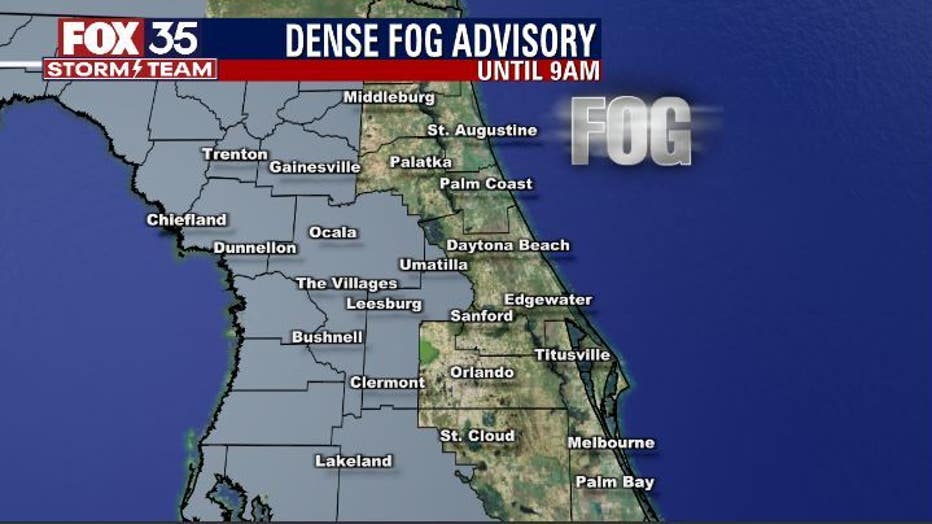
ORLANDO, Fla. - We started this Friday with a DENSE FOG ADVISORY for areas mainly west of the Orlando Metro areas.
Fog will clear through mid-morning with high clouds coming in off the Eastern Gulf of Mexico. Conditions will remain warm and dry as we head into the PM hours, feeling and looking great out there!
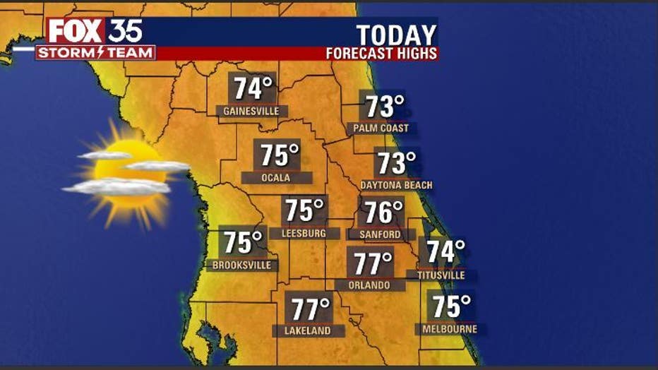
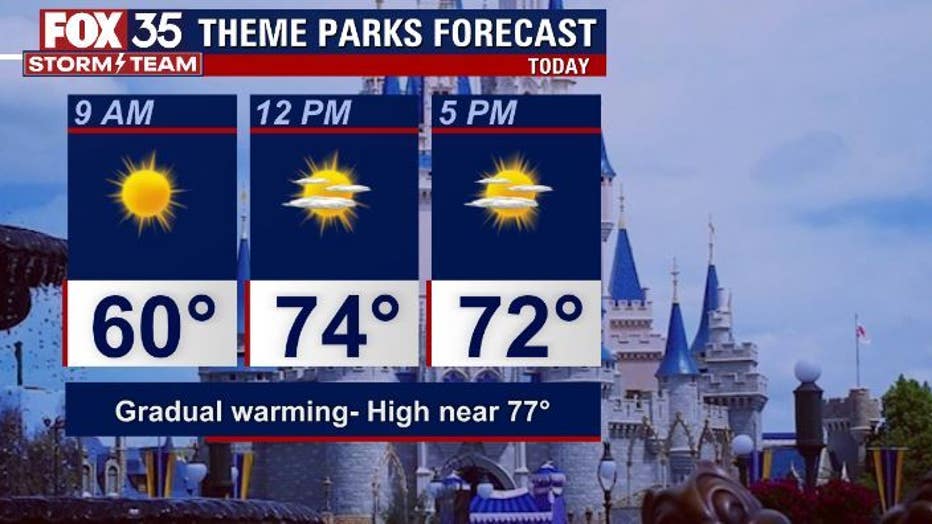
Highs will head for the 70s from the coastal areas through the interior. Our theme parks outlook on this Friday shows near perfect weather for a stroll through the attractions. Highs will hit in the upper 70s at places like Disney, Epcot and Universal Studios.
WEATHER ALERTS: Download the FOX 35 Storm Team Weather app for live radar, severe weather alerts, and daily forecast reports on your phone
Tonight, skies trend partly cloudy with another round of fog looking likely. Fog could become locally dense again, something to consider if you've got plans to hit the road early Saturday morning. Low overnight look quite cool with 50s and 40s expected as we approach sunrise Saturday.
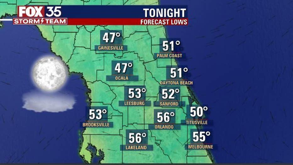
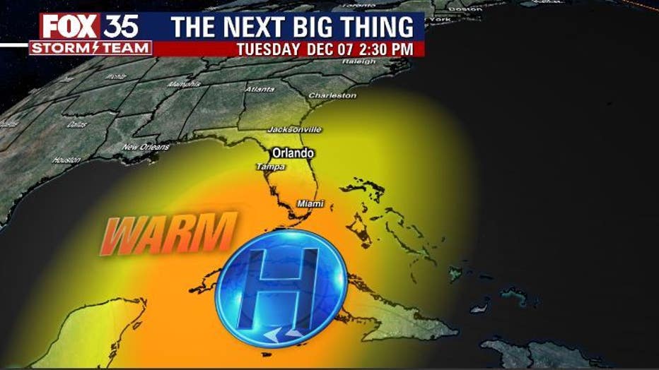
Tracking the longer range forecast for you now, warmth and a lot of it looks to move into Florida. A big cap of high pressure and favorable air flow will coax our temperatures up both day and night. A return of high temps in the 80s looks likely for most of the viewing area as we head through next week.
Long range forecast models are hinting at a stronger cold front entering the area on December 12th. A marked increase in rain chances and a decrease in temps could be in the cards longer term.

