

Cold front to drop temperatures into the 50s, 60s in Central Florida

Weather Forecast: September 29, 2020
FOX 35 meteorologist Jayme King has your Central Florida forecast.
ORLANDO, Fla. - Break out the coats, scarves, and heated blankets! Ok, maybe not -- but temperatures are taking a dive in Central Florida where we'll see cooler temperatures in the 50s and 60s this week.
"The coolest temps we'll see after the front slides through will be early Thursday morning," said FOX 35 meteorologist Jayme King. "Winds off the Atlantic will keep the Southern Space Coast 'warmer' overall. West of I-95 sees the coolest numbers."
The cooler winds of change will arrive on Wednesday morning as the front heads south and down the Florida Peninsula. While an isolated shower will be possible before 9 a.m. on Wednesday, the general trend of weather will be incredible.
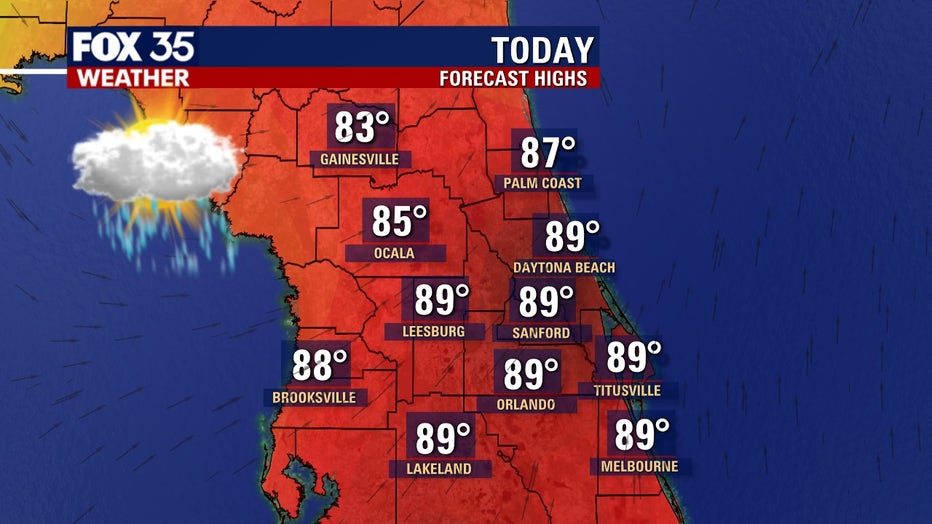
Highs will hang out in the mid to upper 70s, reaching the lower 80s along the southern Space Coast.
Lows fall into the 50s and 60s across the viewing area overnight Wednesday into early Thursday morning. The forecast temps will be the coolest the area has experienced in many months.
While it is not a super chill, we are heading for the comfy zone with both actual air temperatures and lower humidity. Skies will be clear late Wednesday into Thursday morning.
Tune in to FOX 35 News for the latest local, national, and trending stories.