

Orlando weather: Warmer temps before rain chances increase later this week
Orlando AM Weather Forecast: Heat and humidity returns
Warmer weather and humidity returns to Central Florida on Wednesday. A cold front later in the week will bring some changes. FOX 35 Storm Team meteorologist Brooks Garner takes a look at the forecast.
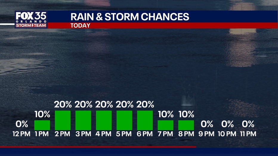
ORLANDO, Fla. - A few passing light showers and sprinkles are possible today and tomorrow, primarily during the afternoon hours.
How much rain will we get?:
This will be due to an onshore wind, meaning areas along the coast will have the highest chance of these showers. With only a 10-20% chance of rain, most will stay dry with a mix of sunshine and clouds today through tomorrow.
By the end of the work week, chances will increase to 60% for Friday afternoon and evening as moisture increases ahead of an incoming cold front.
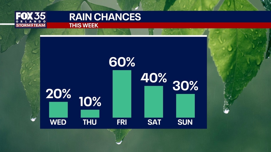
For the weekend, it won't be a washout, but additional scattered showers are possible.
How hot will it get?:
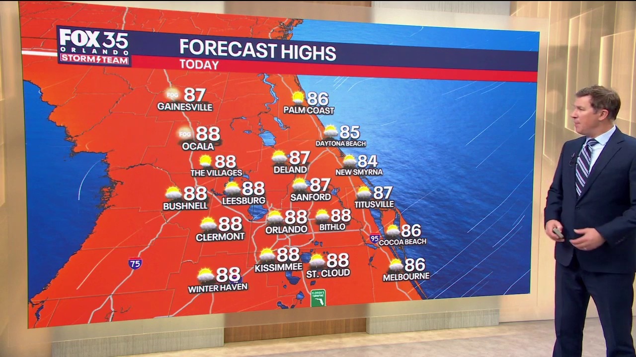
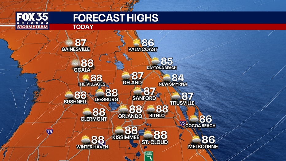
Highs will reach the mid to upper 80s.
Cold front brings changes for the weekend
Gusty winds, rough surf, and noticeably lower temperatures are on the way for this weekend due to an approaching cold front.
Winds, especially at the coast, will be gusting up to 35-40 mph which could reach Wind Advisory levels.
Large breaking waves and a high risk of dangerous and life-threatening strong rip currents can be expected at the beaches.
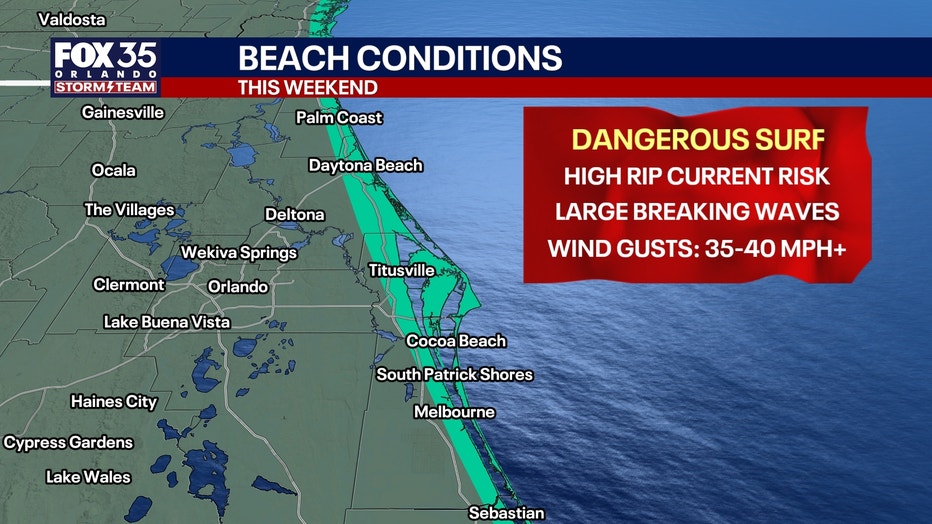
This could lead to minor beach and dune erosion as well. Temperatures across Central Florida will only reach the upper 70s and low 80s for highs.
Tracking the tropics
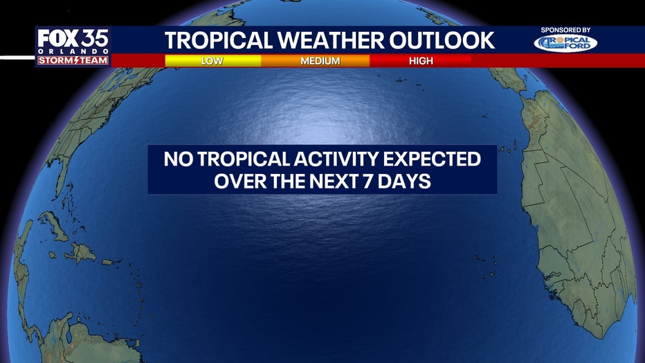
No tropical activity is expected over the next seven days. Hurricane season lasts until Nov. 30.
The Source: The information in this story was provided by the FOX 35 Storm Team.