

Orlando weather: Showers, thunderstorms moving across Central Florida
Orlando AM Weather Forecast: Storm chances a bit lower Sunday
Rain chances come down on Sunday as we tap into some drier air, but that changes on Labor Day. Meteorologist T.J. Springer times out our forecast for the remainder of our holiday weekend.
ORLANDO, Fla. - The FOX 35 Storm Team is tracking widespread showers and thunderstorms Monday afternoon and evening across Central Florida.
Timeline:
Widespread showers and storms are expected across Central Florida between 4 p.m. and 7 p.m. Some storms could be briefly strong or severe (strong wind gusts or hail).
What to expect:
These storms are expected to bring downpours, frequent lightning, and strong winds (up to 50 mph possible).
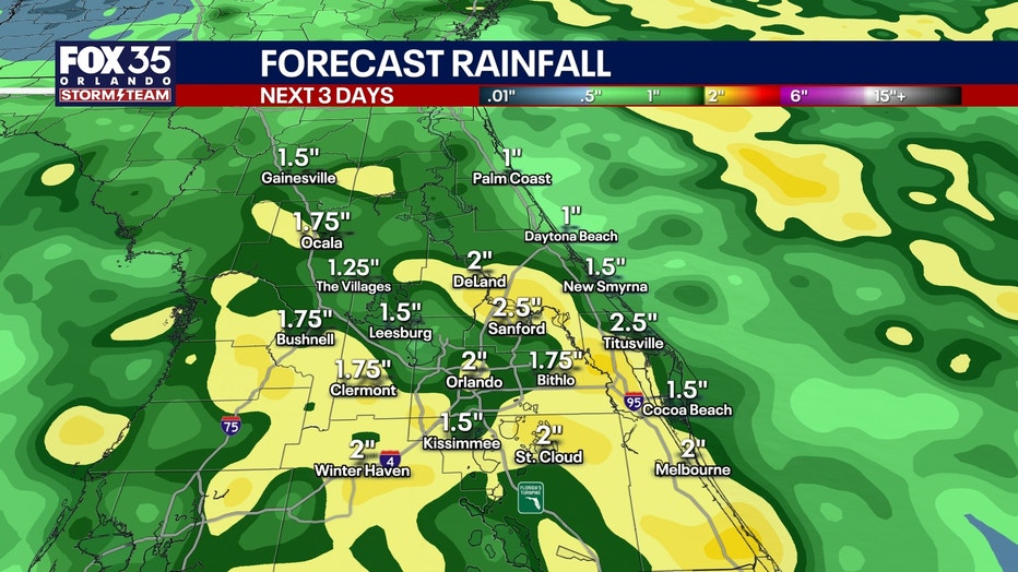
Rainfall forecast: How much rain could fall in Orlando?
According to models, between 1" and 2.5" of rain could fall across Central Florida, primarily along the coastline and near Clermond and Winter Haven.
Temperatures dip slightly
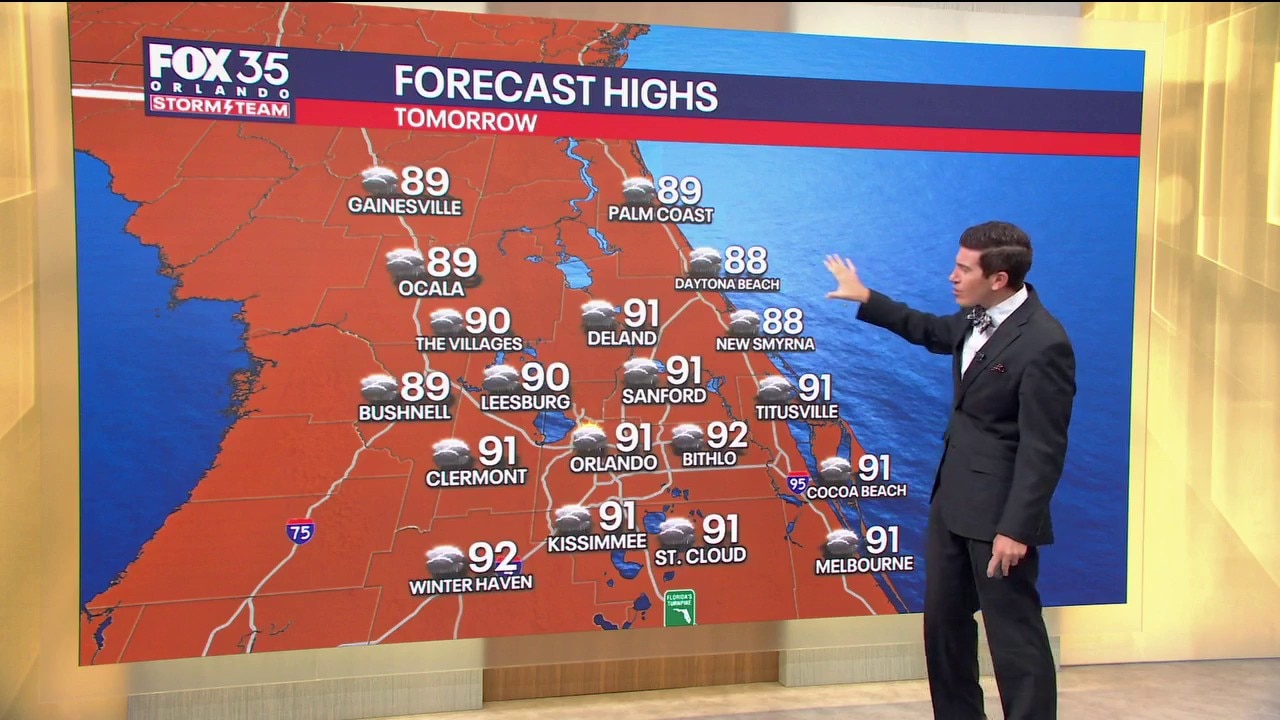
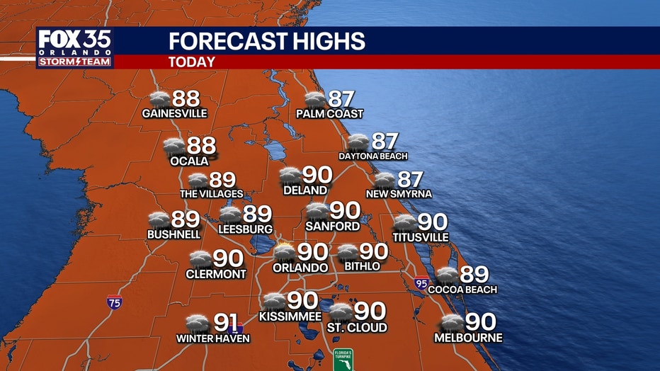
With extra cloud cover and earlier rain development, high temperatures drop a few degrees compared to the weekend.
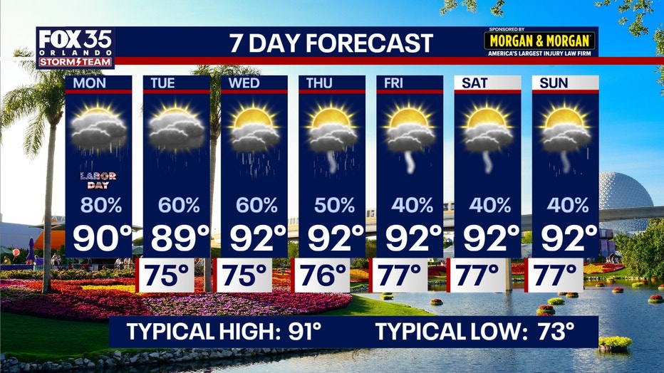
7-Day Forecast
Tracking the tropics
Quiet Atlantic:
Despite approaching the historical peak of hurricane season, the Atlantic basin remains remarkably quiet.
Strong wind shear and pockets of dry air continue to prevent tropical disturbances from organizing.
The National Hurricane Center expects no tropical cyclone development across the Atlantic, Caribbean, or Gulf over the next 7 days.
The Source: The information in this story was provided by the FOX 35 Storm Team.