

Orlando weather: Rainfall totals for past 24 hours
Orlando Weather Forecast PM: Tracking the start of the rainy season
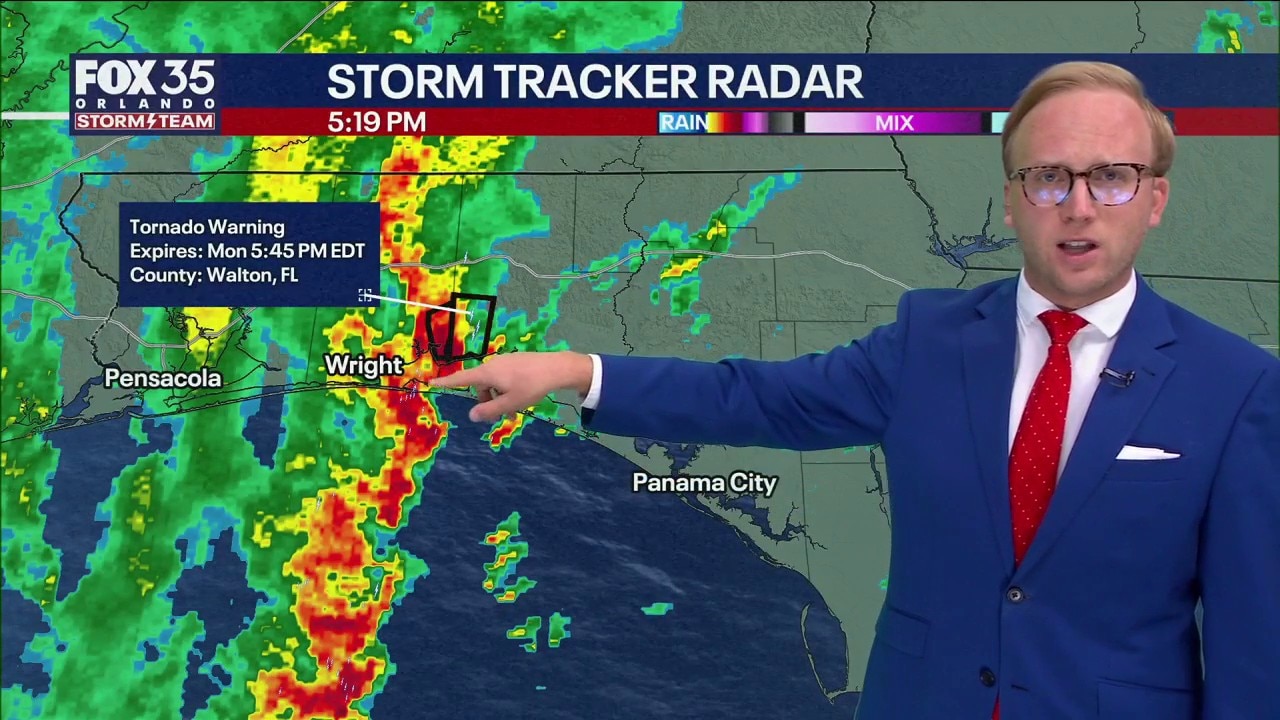
Big changes lie ahead including lots of PM storms and downpours for central Florida, and an update in the tropics with 1 week to go until the official start to the hurricane season. FOX 35 Storm Team Senior Meteorologist Noah Bergren has the details.
Warm and mostly dry conditions are expected tonight.
Overnight lows will fall into the low and mid-70s.
Tuesday forecast for Orlando
What To Expect:
Tuesday will stay mostly sunny with only slight afternoon rain chances, mainly west of the area, while highs climb into the low 90s with humid conditions.

Rain and storm coverage will gradually increase beginning Wednesday before widespread afternoon showers and thunderstorms arrive on Thursday, marking the start of Central Florida’s rainy season pattern.

Summer-like humidity will settle in this weekend, with some areas potentially seeing more than 6 inches of rain through mid-next week.

Rainy season pattern arrives
Parts of Central Florida received several inches of much-needed rain amid the ongoing drought.
Areas west of Orlando – including Orange, Lake and Sumter counties – received four to five inches of rain overnight from Saturday, May 23 to Sunday. Areas closer to the coast – Titusville, Cocoa, Melbourne – had much less rain, if any. Onshore wind from the Atlantic allowed a sea breeze collision to occur closer to the Gulf Coast.
Here's a list of rainfall totals by area:


Active burn bans in Central Florida
The rain was much-needed, especially in dry areas currently under a burn ban. These areas include:
- Marion County
- Sumter County
- Orange County
- Seminole County
- Brevard County
- Polk County
- Lake County
Temperatures for Sunday, May 24
Sunday morning brought temperatures in the low to mid-70s. The weather will be partly cloudy, with a high of 86 degrees by noon. There'll be a chance for showers at 3 p.m.
- DeLand: 72 degrees
- Palm Coast: 72 degrees
- Melbourne: 80 degrees
- Kissimmee: 77 degrees
- Winter Haven: 74 degrees
- Orlando: 76 degrees
- Sanford: 74 degrees
The Source: Information in this story was gathered by FOX 35's T.J. Springer.