

Orlando weather: Waves of heavy rain, storms expected in Central Florida; flash flooding possible

Orlando Weather Forecast: July 23, 2025
FOX 35 Storm Team Meteorologist Jessica Dobson has a look at the Wednesday forecast.
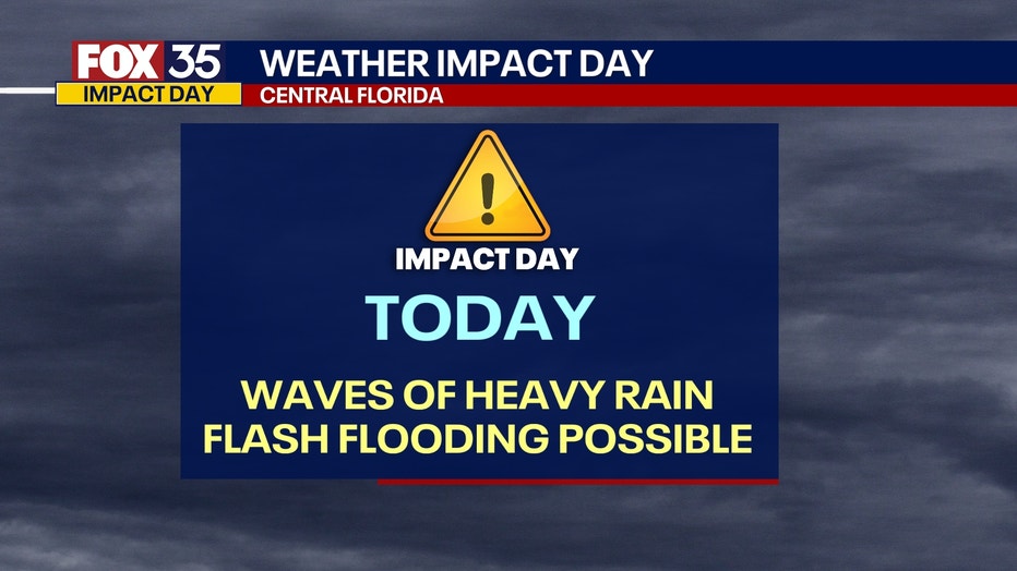
ORLANDO, Fla. - Wednesday is a FOX 35 Weather Impact Day due to the multiple waves of heavy rain expected across Central Florida.
When will rain and storms arrive?
Timeline:
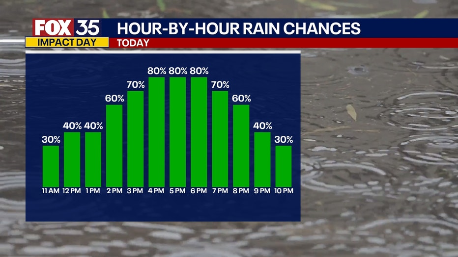
While this morning has started off on the drier side, it's still a good idea to grab the rain gear as you make your way out the door. Scattered showers and storms are likely this afternoon, bringing with it multiple waves of heavy rain.
Showers will begin late morning, with the highest chances of the heaviest rain taking place from around 2pm-9pm.
What are the main weather threats?
What we know:
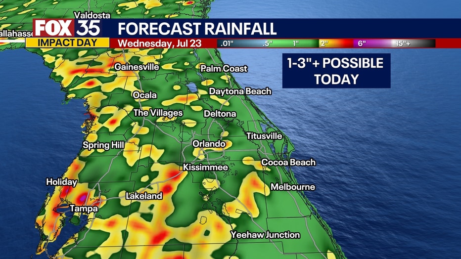
Areas to the west of I-95 have the highest chance of showers and storms. An additional 1-3" will be possible for many areas across the region. With tropical moisture at play, a lot of rain will fall over short periods of time.
This could lead to a few isolated areas picking up 4"+ of rain, which could lead to the risk of flash flooding.
What will the weather look like tonight?
Any lingering showers and storms will slowly dwindle and fade overnight. Temperatures remain warm and muggy with lows falling into the mid to upper 70s.
What will the weather look like for the remainder of the week?
Looking ahead:
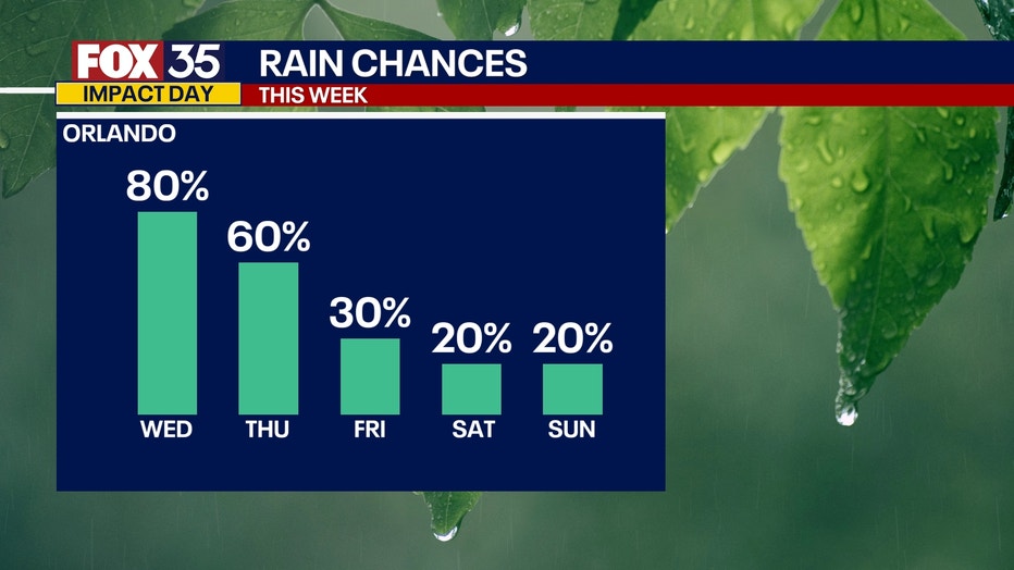
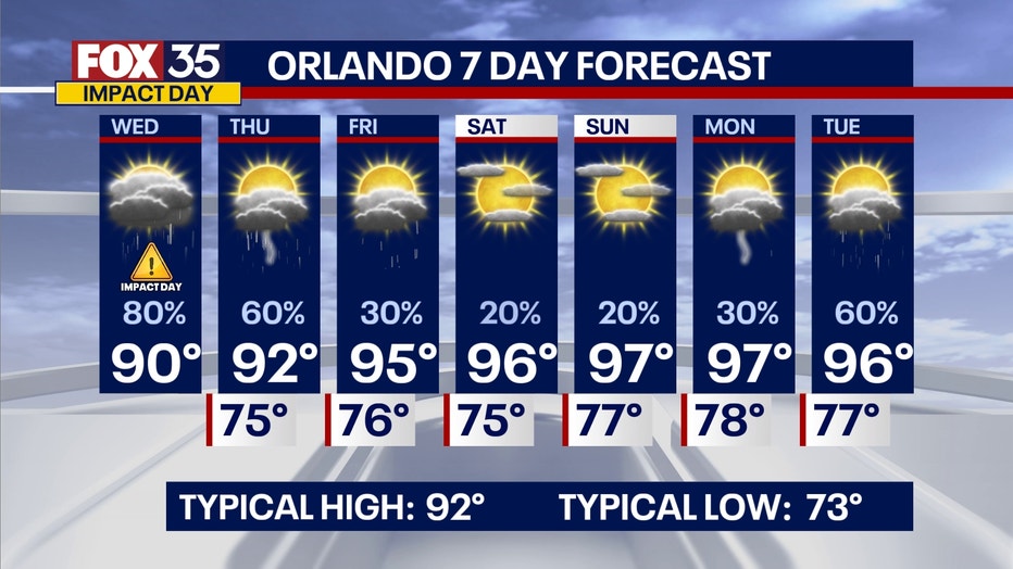
Rain and storm chances will taper off as drier air begins to filter in. By Friday, only a few isolated to scattered showers and storms will be possible. As we dry things out, temperatures will heat back up.
Dangerously hot temperatures will be possible for this weekend as highs soar back into the mid-90s for the weekend. Once we factor in humidity levels, heat indices could reach levels as high as 110°+.
Heat advisories may be issued for this weekend. Stay cool!
The Source: This story was written based on information shared by the FOX 35 Storm Team on July 23, 2025.