First it's hot, then it's not!

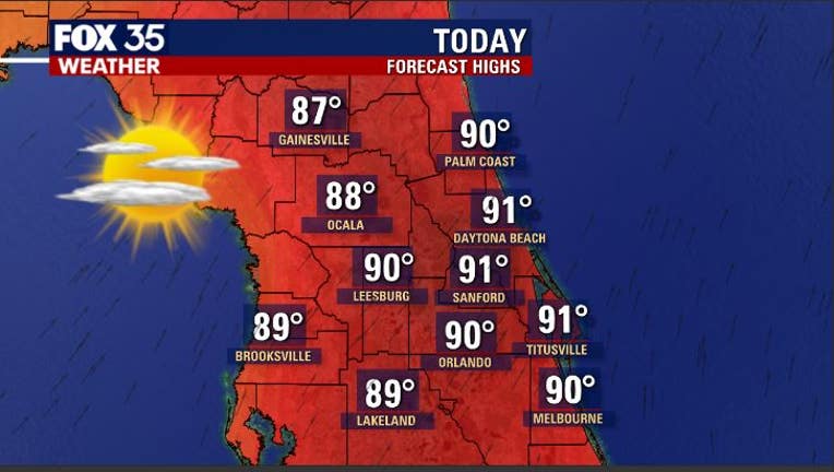
Orlando. FL - The heat is definitely on yet again on today in Central Florida. Expect highs near the 90 degree mark from the interior, all the way to the beaches.
Factor in the humidity later this afternoon and the "feels like" temp comes in at 95 degrees during peak afternoon heating.
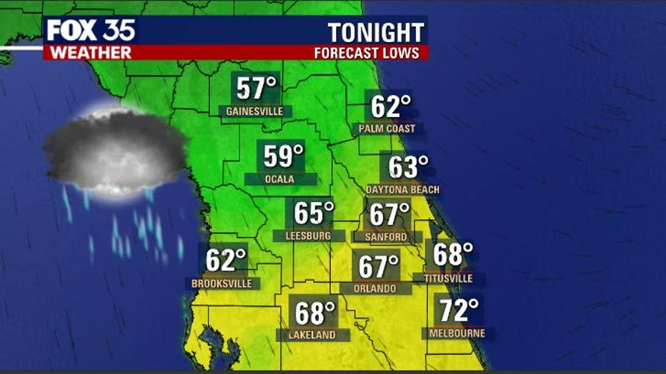
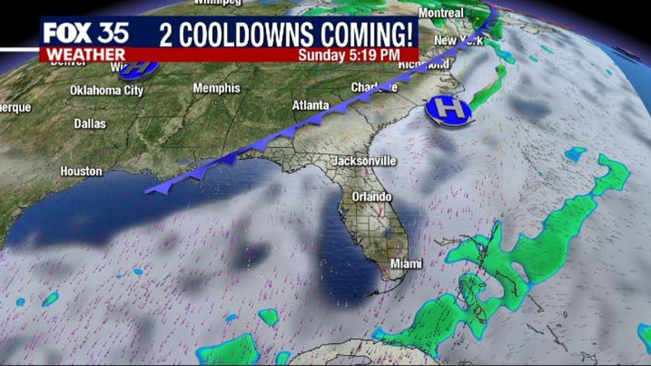
The warmth is being driven by Southwesterly winds developing out ahead of a cool front that will move through the area late tonight-early Friday morning. Rain chances come up a bit later this afternoon through the overnight hours with highest coverage over the Northern Counties as the front moves through.

As the front clears the area overnight, cooler air will funnel in, skies will dry. Lows will fall into the 50s across our Northern Counties, a bit warmer closer to Orlando Metro and the beaches of Brevard County.
Winds will adjust to a more Northerly direction and hold steady on Friday. This will make for a beautiful start to our weekend with highs on Friday in the 70s, plentiful sunshine!

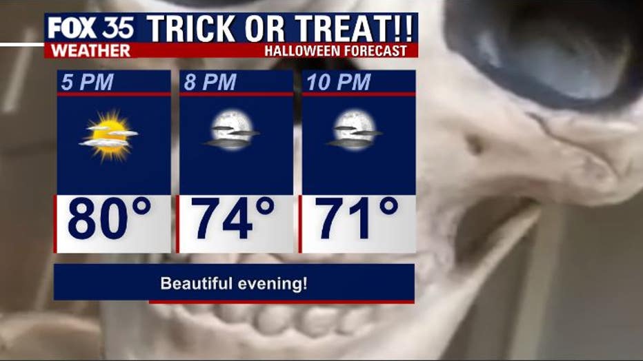
If you have plans on Saturday for Halloween, the weather looks fabulous. Temps will fall into the gorgeous 70s through the evening. Dewpoints/humidity will be rather low and this will make things comfortable.

A second, stronger cold front will move across the area Sunday night into Monday of next week. Much cooler air is expected with this system, rainfall will be minimal if at all. Looks like highs in the 70s across the entire area Monday through Wednesday of next week.
Wake up temps during this time will be in the 40s over Northern Counties, 50s over the South. Winds will also be elevated during this time making things feel nice and fresh! Enjoy!

