

Orlando weather: More rain on the way this week
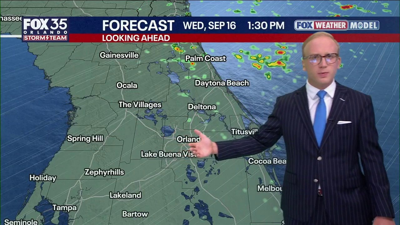
Orlando Weather Forecast: Tracking showers
Passing showers will linger through the night into Wednesday morning across central Florida. Humidity and rain chances ramp up this weekend into early next week significantly so. FOX 35 Storm Team Meteorologist Noah Bergren is tracking the changes.
ORLANDO, Fla. - Scattered showers and thunderstorms are possible Tuesday night, Wednesday, and into Thursday, as the rain moves west to east across Florida.
That means showers and thunderstorms will likely start along Florida's coastline before inland.
What to expect:
These showers are not expected to be severe or overly intense.
Temperature Outlook:
Temperatures will be cooler than average, staying in the upper 80s.
Typical summer rains come back Friday
By Friday, moisture increases again as an upper-level disturbance crosses Florida and moves toward the Gulf.
Think of it like returning to a mid-summer pattern with higher dew points, moisture and rain coverage. The intensity of the daily downpours will also go up because of this added moisture and lift in the atmosphere.
We're not expecting total washouts, but we are expecting daily downpours.
Timeline:
A few of these storms could be severe Friday - Sunday, as the system moves across the state.
Tracking the tropics
No tropical concerns for Florida right now.
A disturbance well east-southeast of Bermuda has a 40% chance of developing during the next seven days and if it formed, would stay far away from the U.S.
The Source: The information in this story was provided by the FOX 35 Storm Team.