

Orlando weather: Widespread evening storms continue as Central Florida
ORLANDO, Fla. - Deep tropical moisture and the afternoon sea breeze will bring widespread showers and thunderstorms across inland Central Florida on Thursday evening.
A few storms near the Orlando area could become strong, producing frequent lightning, torrential rainfall and gusty winds.
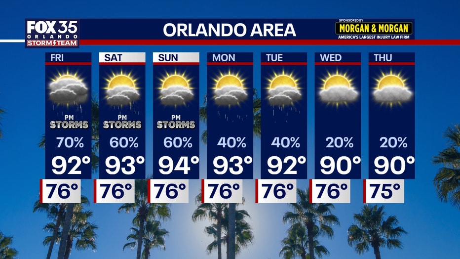
Rain chances remain high through the weekend
The unsettled weather pattern is expected to continue through the weekend, with high humidity fueling scattered to widespread afternoon and evening storms each day.
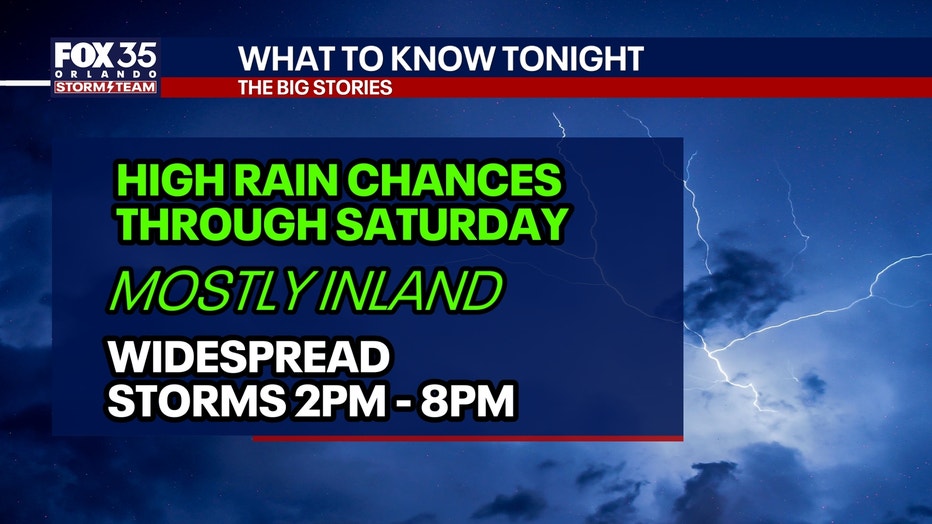
The greatest storm coverage is expected inland, while communities along the immediate coast are likely to see fewer storms.
Slightly hotter than average highs
How hot will it get?:
Temperatures will stay near or just above normal over the next few days with high humidity keeping things uncomfortably muggy.
Afternoon high temperatures this week and into the weekend are expected to peak at a range of around 90-93° for Orlando/inland areas and around 87-89° for the beaches.
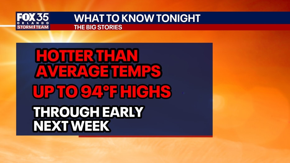
Once we factor in that humidity, it will feel hotter and closer to the low 100s.
Orlando continues one of its hottest, driest years on record
Central Florida remains well above normal for heat and well below average for rainfall in 2026.
Through Sept. 10, Orlando has recorded:
- The seventh-hottest year on record since 1892.
- The third-most days with temperatures of at least 95 degrees, with 56 such days.
- The fewest nights at or below 70 degrees in 134 years of record-keeping.
- The third-driest year to date, with 24.26 inches of rainfall, compared with the historical average of about 39 inches by Sept. 10.
Next week, we anticipate slightly cooler temperatures and lower chances for rain.
Quiet Atlantic
The Atlantic hurricane basin remains unusually quiet, with no tropical development expected over the next week.
Forecasters say El Niño continues to produce strong wind shear and dry air across much of the Atlantic, limiting storm development.
Although the season has reached its climatological peak and 2026 is on pace to be the quietest Atlantic hurricane season on record to date, hurricane season continues through Nov. 30, and forecasters will continue monitoring for any signs of tropical development.
The Source: The information used in this story was provided by the FOX 35 Storm Team.