

Orlando weather: Heavy rain moves out, river flooding moves in
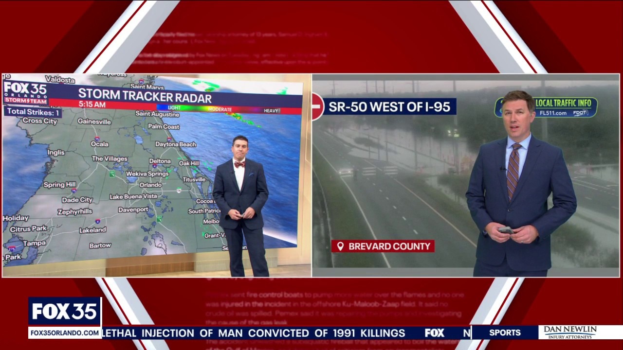
Orlando AM Weather Forecast: Scattered showers & storms today, brighter on Sunday
The major flooding is over but we're not quite done with the rain just yet. Meteorologist T.J. Springer and Meteorologist Brooks Garner have the latest on what to expect through the remainder of the weekend into next week.
ORANGE COUNTY, Fla. - Central Florida is finally catching a break after the historic, relentless rainfall that hammered our coastline this week. The complex area of low pressure responsible for our deluge is pulling northward away from the peninsula, allowing drier air to wrap in for the weekend.
While the worst of the rain is behind us, hit-or-miss showers and storms remain in the forecast as a trailing front moves in.
Now our biggest concern shifts to major, record-setting river flooding unfolding along the St. Johns River basin.
SCATTERED SHOWERS & STORMS TODAY, RECORD RIVER FLOODING CONTINUES
With the storm system lifting north, rain chances are dropping way down compared to the past few days. We’ll still keep a 40% chance of scattered showers and a few storms in the forecast today, though amounts will generally be light as drier air works in. By Sunday, the odds stay low as we continue to dry out.
Even though conditions are drying out, the water on the ground has nowhere to go quickly.
River Flood Warnings remain in effect across the St. Johns River basin, where historic runoff from over two feet of coastal rain is driving water to record heights:
- Cocoa: Reached a record crest this morning, surpassing the previous all-time record set back in 1953, with water encroaching on low-lying yards and access roads around Lake Poinsett.
- Lake Harney (Geneva): Forecast to crest at record levels Sunday afternoon, threatening to cover portions of SR-46 near Jungle and Prevatt roads as well as surrounding secondary streets.
- Lake Monroe (Sanford): Expected to climb into major flood stage and crest Tuesday afternoon, bringing water right up to Sanford’s seawall and threatening low-lying riverfront neighborhoods.
- DeLand & Astor: Both areas are already experiencing minor-to-moderate flooding and are projected to push into major flood stage next week as that bulge of runoff moves downstream, submerging docks and low-lying roads.
Do not drive around barricades or through floodwaters, and use extreme caution near riverbanks and low-lying neighborhoods through early next week.
SEASONABLE THIS WEEKEND, TRACKING MIDWEEK RAIN
As winds shift out of the south-south-west today and turn west-northwest behind the departing low tonight into Sunday, we’re in for a much more comfortable feel.
Afternoon highs today will top out in the mid-to-upper 70s across the Orlando metro and coast, with lows tonight dipping into the lower 60s across our north-west counties (Marion, Lake, and Sumter) and lows in the mid to upper 60s for the metro.
Sunday brings a pleasant mix of sun and clouds with highs in the mid-to-upper 70s before a gradual warm-up kicks off early next week. Looking ahead, we’re already watching another system that looks to bring our next round of showers a storms back into the forecast around Wednesday into Thanksgiving Day.
CHOPPY BOATING AND DANGEROUS RIP CURRENTS PERSIST
Even as the storm pulls away, marine and beach hazards remain in place. A Small Craft Advisory continues across local Atlantic waters through Sunday morning, with rough seas slowly subsiding from 6 to 9 feet down to 4 to 6 feet by late Sunday.
Along area beaches, rough surf and a HIGH risk of life-threatening rip currents will stick around through the weekend. If you’re heading to the coast to check out the improving weather, stay out of the water and always swim near an open lifeguard tower.
TRACKING THE TROPICS
The National Hurricane Center continues to monitor that complex area of low pressure moving northward off the Southeast U.S. coast. As it lifts toward the Carolinas and Mid-Atlantic this weekend, it still has a low 20% chance of briefly acquiring subtropical or tropical characteristics over the next couple of days.
The bottom line for Central Florida: this system is moving away from us and poses zero direct threat to our weather. Elsewhere across the Gulf and Caribbean, all remains quiet as we enter the final stretch of hurricane season.
The Source: This story was written based on information provided by FOX 35 meteorologist T.J. Springer on November 21, 2026.