

Humid weather will continue across Central Florida
ORLANDO, Fla. - If you are a fan of drier air and temperatures in the 70's, you will be saddened by what I have to say. It looks like the large-scale pattern in the upper atmosphere is locked in for the next several weeks.
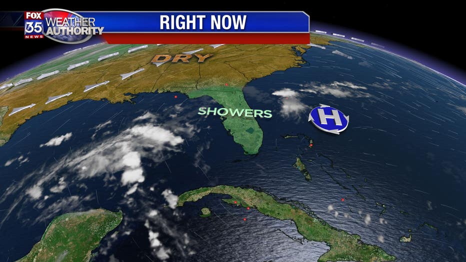
Normally we find the jetstream shifting south and allowing cooler/drier air to move across Florida, even if it's for just a few days. However, this Autumn season we have found a persistant trough across the midwest that is pulling up the jet stream to the north which is allowing the cool air to stall across Georgia.
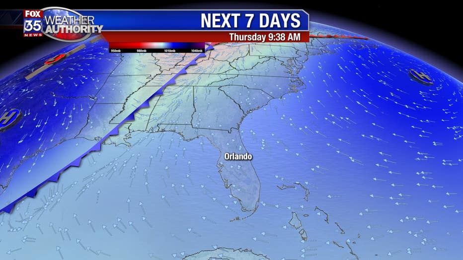
Later this week there will be a weakening cold front that will stall right on top of us on Friday, but once again will trap the cool air near the Florida/Georgia state line. The long-term forecast models like the GFS show a brief cool-down on Sunday, but quickly the winds will veer from the southeast and that will once again push muggy conditions across the state.
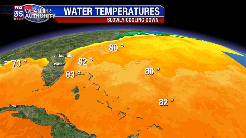
With water temperature sill hovering in the lower 80's, any wind from the southeast will keep the humidity rolling across the main peninsula. It appears that another large trough will setup across the central U.S. next week and that will once pull in a moist flow from the Bahamas where light showers can form and blow into Central Florida. So, what you see, and feel, is what we will all get for the next 10-14 days....yuck! I am gearing up for some cooler temps and dry air so I can get my gheenoe out on the lake and do some fishing....but I guess I will stick with indoor projects for awhile. GR