

Orlando weather: Hot, muggy start to the week; rain chances increase by weekend
Orlando Weather AM: Hot, muggy start to the week
It will be a hot, humid, and muggy start to the week, though tropical moisture is expected to increase rain chances later in the week and into the weekend.
ORLANDO, Fla. - The FOX 35 Storm Team is tracking another hot and humid week with increased chances for afternoon showers and thunderstorms throughout Central Florida.
Today's Forecast
What to expect:
Morning temperatures in the 70s will quickly climb into the low 90s, with heat indices reaching into the triple digits – between 102°-107°.
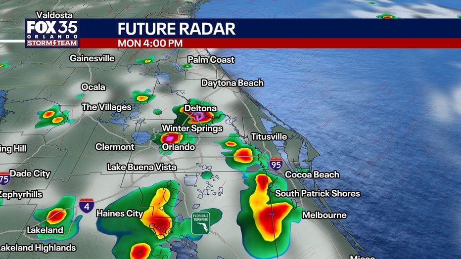
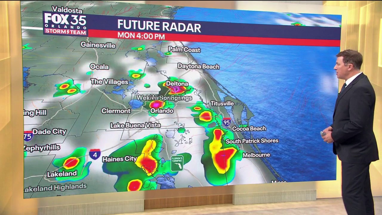
An east coast sea breeze will develop around midday and push inland. Scattered storms should initially fire near and west of I-95 before becoming more focused across the interior and western side of the peninsula through the afternoon and early evening.
Impacts: The stronger storms may produce torrential rain, frequent lightning and localized wind gusts of 40-50 mph.
Timeline:
Showers and storms are expected to form near the coast this afternoon and evening, and then push inland. The storm threat should fade as the evening carries on.
Tuesday's forecast: Changes ahead
What to expect:
Our pattern begins changing Tuesday as high pressure strengthens along the East Coast. East-northeast winds will increase Tuesday afternoon, becoming noticeably stronger Wednesday with sustained winds around 15-20 mph and higher gusts near the coast.
That persistent onshore flow will create deteriorating beach and boating conditions. By Wednesday, expect rough surf, building seas and a high risk for dangerous rip currents. Offshore seas could reach 6-8 feet, especially north of Cape Canaveral.
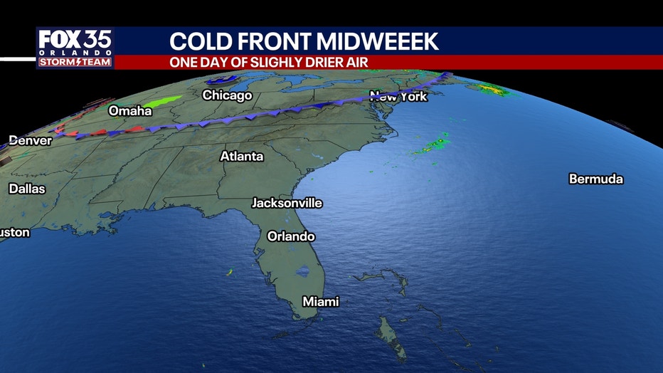
Rain chances remain fairly high Tuesday.
Rain chances increase Wednesday, Thursday, and into the weekend
What to expect:
Even with somewhat drier air aloft Wednesday, persistent Atlantic winds should continue feeding enough low-level moisture inland for scattered coastal showers.
Moisture increases again Thursday, bringing scattered to numerous showers and storms back to much of Central Florida. Repeated rounds of rain near the coast could produce localized urban flooding, especially in places that are already saturated.
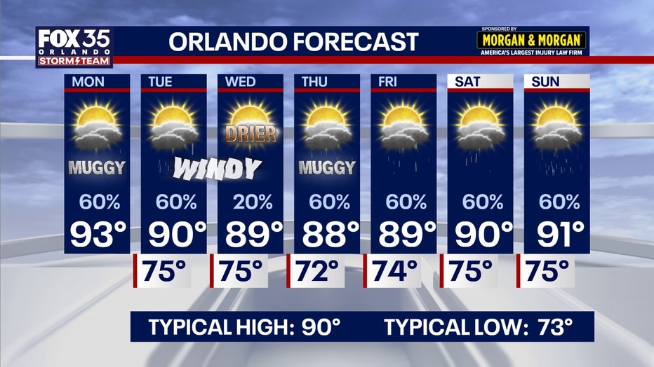
Temperatures: Highs in the upper 80s and low 90s Wednesday and Thursday.
Weekend Forecast
Deeper tropical moisture is expected to return Friday into the weekend as the upper-level pattern shifts west of Florida. That should keep daily rain and thunderstorm chances elevated across much of Central Florida.
Temperatures: Highs in the 80s and 90s.
Tropics
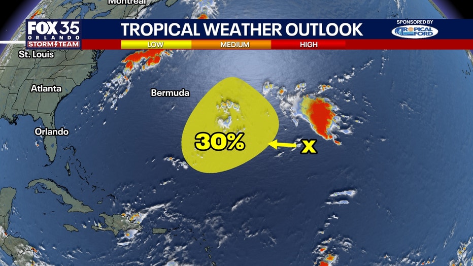
The National Hurricane Center is monitoring a disturbance more than 1,000 miles away from Bermuda. No direct threat to Florida at this point. Development chances sit at 30% for the next 7 days.
The Source: This story uses information from the FOX 35 Storm Team, the National Weather Service, and the National Hurricane Center.