

Why did Hurricane Polo rapidly intensity so fast in the Pacific?
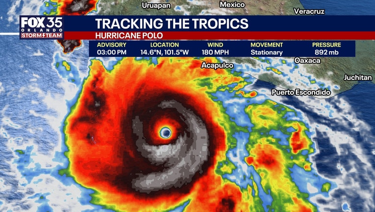
Hurricane Polo rapidly strengthened Tuesday to become one of the most powerful storms in the eastern Pacific Ocean's history.
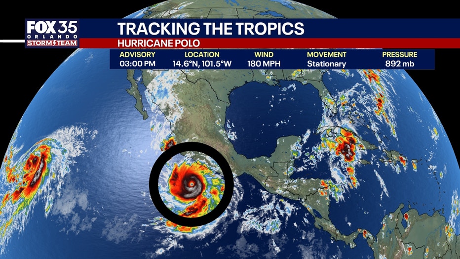
Hurricane Polo rapidly intensifies to become powerful Cat. 5 storm
What we know:
Hurricane Polo explosively intensified Tuesday into one of the strongest hurricanes ever recorded in the eastern Pacific Ocean.
The storm features tremendous lightning around its nearly stationary eye, packing sustained winds of 180 mph with gusts up to 220 mph in the eyewall.
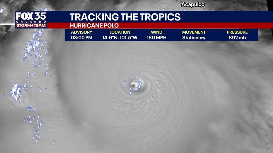
Because the Category 5 hurricane is remaining relatively still, it will pull up a significant amount of deep water. This process will eventually weaken the storm slightly – unless it starts moving across the Pacific.
Tracking Hurricane Polo
What we don't know:
The steering aloft remains complex, leaving some uncertainty about the storm's exact path. Computer models show it could stall again, loop, or travel directly across northwestern Mexico.
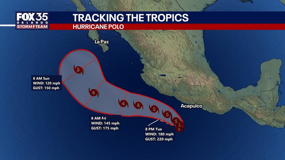
If Hurricane Polo does make landfall in Mexico, it would be the 27th hurricane of all time to hit the region, and the first since Norma in 2023. Only three major storms of Category 3 or higher have hit that specific area, most recently Odile in 2014.
Hurricane Polo could threaten the Baja Peninsula and western Mexico early next week, with long-term forecasts showing a general hook toward Baja California Sur. Forecasters expect the remnant moisture from the system to push up into the United States in about 10 days.
Why did Hurricane Polo develop so quickly? El Nino
Big picture view:
This extreme intensification is a clear sign of El Nino, which creates exceedingly favorable conditions for hurricanes and typhoons in the Pacific Ocean. The phenomenon has the exact opposite effect in the Atlantic Ocean, which has yet to see a hurricane during the 2026 season.
Strongest hurricanes in the Pacific (by pressure)
By the numbers:
- 872 mb -- Patricia (2015)
- 892 mb -- Polo (2026)*
- 902 mb -- Linda (1997)
- 906 mb -- Rick (2009)
The Source: This information was gathered from FOX 35 meteorologist Noah Bergren, the National Hurricane Center, and NHC tropical records.