

Orlando weather: Mostly dry, pleasant weather for Central Florida
Orlando AM Weather Forecast: Pleasant weather ahead
The break from the storms continues for Central Florida. Rain chances and humidity remain low on Tuesday. FOX 35 Storm Team meteorologist Brooks Garner takes a look at the forecast.
ORLANDO, Fla. - After last week's stretch of heavy rain and tropical moisture, Central Florida is enjoying a much quieter weather pattern.
High pressure will keep most areas dry today, with a mix of sunshine and clouds and just a slight chance (20%) of a passing shower near the coast, especially around Cape Canaveral and Daytona Beach.
How hot will it get?:
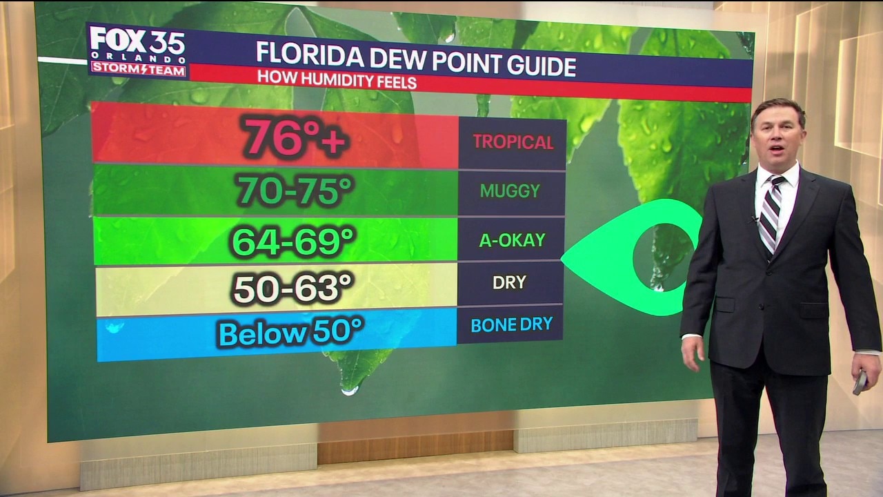
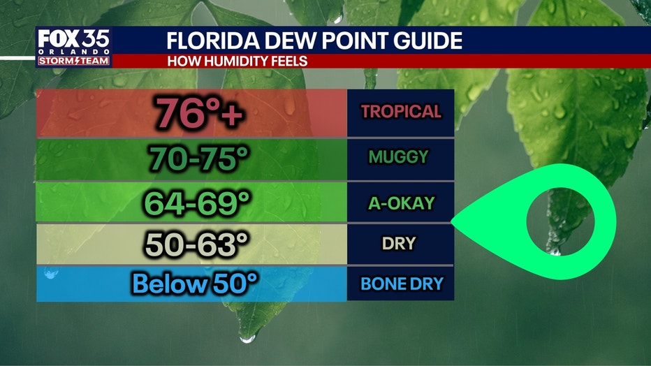
Morning temperatures in the 60s will warm into the mid to upper 80s this afternoon. Humidity remains relatively comfortable, with a light northeast breeze developing.
Rain chances gradually increase midweek
Onshore winds will bring a gradual return of Atlantic moisture Wednesday and Thursday.
When will the rain arrive?:
A few passing showers are possible Wednesday, mainly southeast of I-4, with rain chances increasing to 20-50% Thursday, especially near and south of Orlando.
A few afternoon thunderstorms will also be possible, but the severe weather threat looks low.
Highs remain in the mid to upper 80s, with overnight lows gradually warming into the 70s.
Big changes this weekend
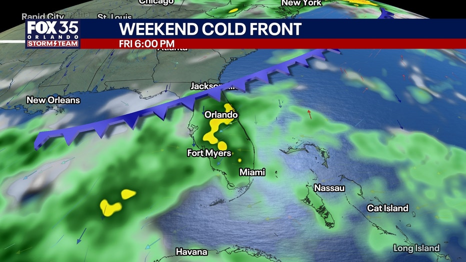
A cold front will move through Central Florida late Friday into Saturday, followed by strong high pressure building to our north.
This will create a tight pressure gradient and a prolonged period of strong northeast to east winds beginning Saturday and continuing into early next week.
Wind gusts of 30-40 mph will be possible, especially near the coast. Offshore winds may reach 20-30 knots with frequent gale-force gusts.
Seas will build to 7-10 feet Saturday, potentially even higher Sunday.
Dangerous surf, life-threatening rip currents, beach erosion and hazardous boating conditions will all become significant concerns this weekend into early next week.
Temperatures will also cool slightly, with highs in the low to mid 80s Saturday and upper 70s to lower 80s Sunday.
Tracking the tropics
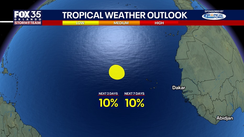
The Atlantic remains relatively quiet, with no immediate tropical threat to Central Florida indicated in the current forecast.
The significant wind, surf and rain concerns developing this weekend are associated with a frontal boundary and strong high pressure to our north, not a tropical cyclone.
The Source: The information in this story was provided by the FOX 35 Storm Team.