Tropics forecast: Tracking the Remnants of Dolly
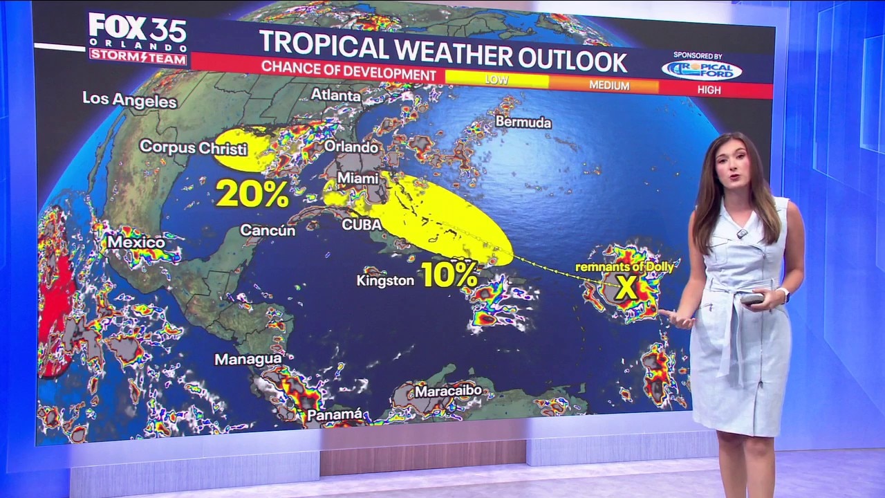
In the Atlantic basin, conditions remain relatively quiet for late August, but the Storm Team is keeping an eye on a couple of broad areas of low pressure. There are 2 areas of interest. There is now a 10% chance of tropical (in this case, re-formation) of the remnants of Tropical Storm Dolly. The dissipated system will continue moving west toward the Leeward Islands with a low chance of redevelopment. Strong wind shear ahead of the system is expected to tear apart what remains of Dolly, continuing a trend where strong shear has kept tropical systems in check this season. The next name up is Edouard - but if the remnant moisture does not entirely fall apart and does manage to reform back to tropical storm strength, a new re-formed system would keep the name "Dolly" There is also a 20% chance of development in the Gulf. A weak area of low pressure over the northern Gulf of Mexico is producing disorganized showers. The warm ocean water will increase the amount of thunderstorms in the gulf and will be moving west before it most likely gets caught up in a front. Neither system poses an immediate threat to Central Florida, but we will keep watching them closely over the next week
Top Videos
Tropics forecast: Tracking the Remnants of Dolly
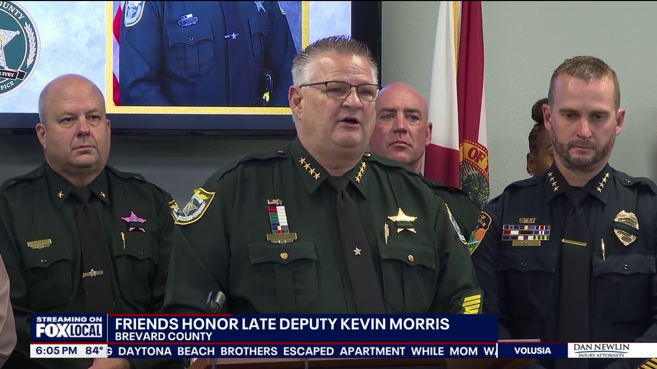
Funeral set for Brevard County Homicide Agent Kevin Morris
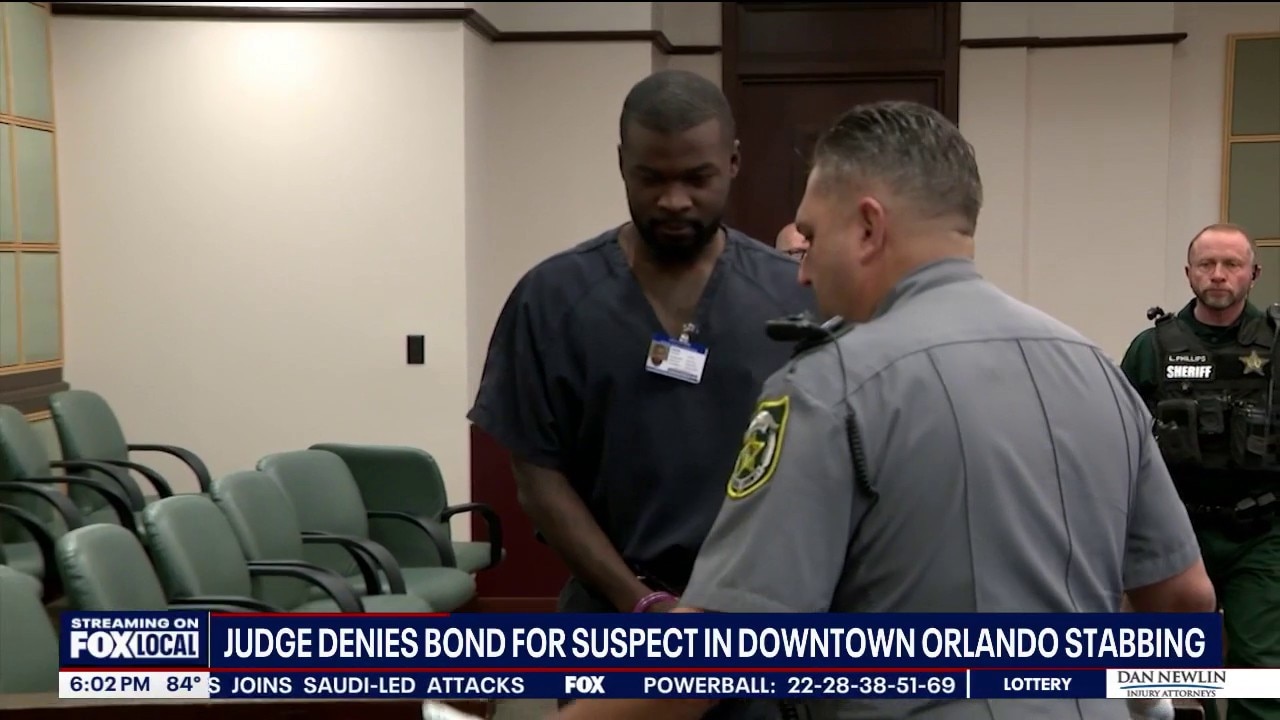
Judge denies bond for suspect in downtown Orlando stabbing
Undercover bust yields dozens of arrests in downtown Orlando
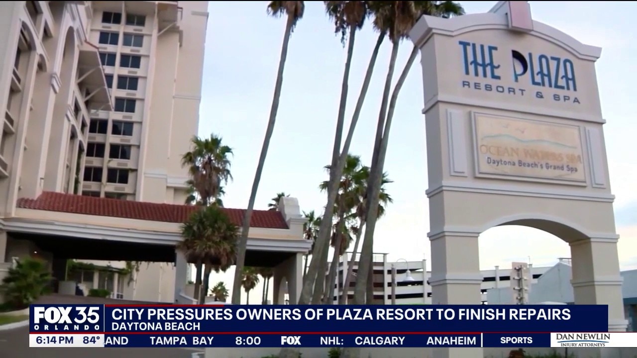
Daytona Beach pressures Plaza Resort owners to make repairs
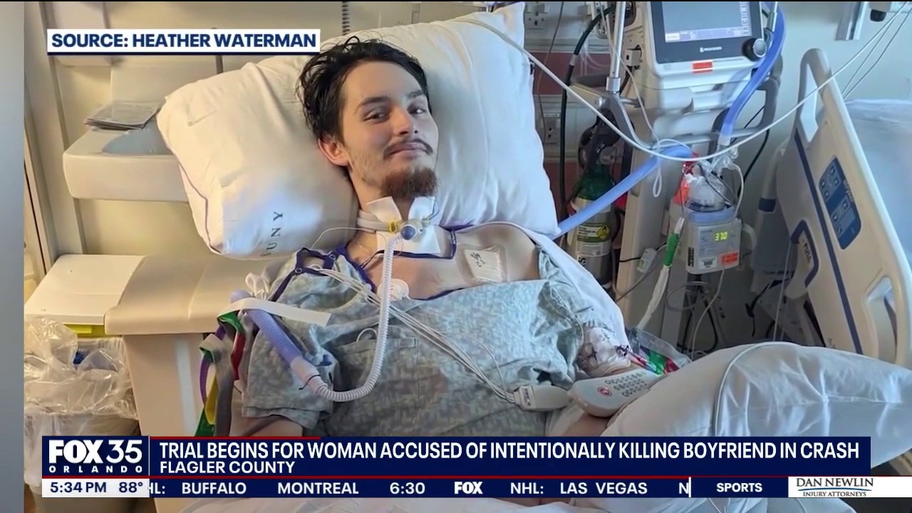
Trial begins for woman accused of intentionally killing boyfriend in crash
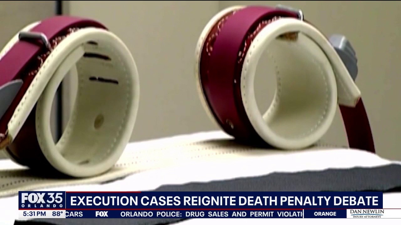
Execution cases reignite death penalty debate
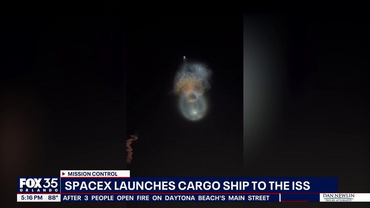
SpaceX launch creates 'space jellyfish' over Central Florida
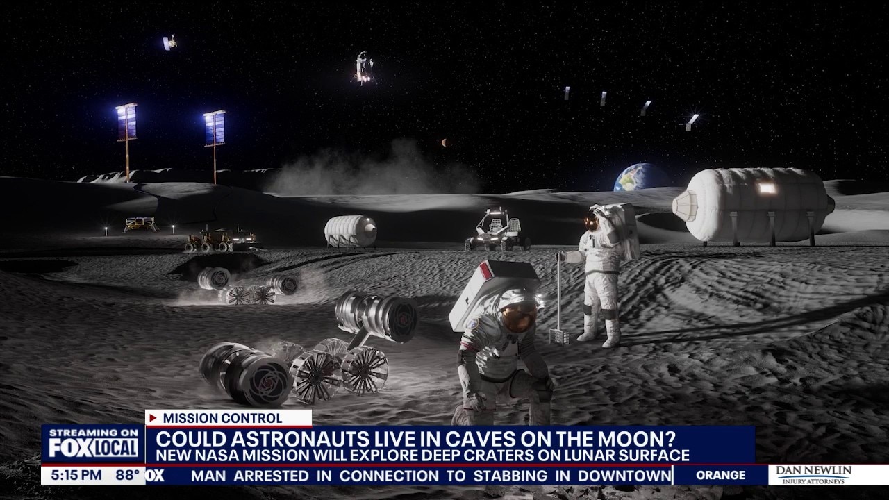
NASA wants to explore moon caves that one day could shelter astronauts
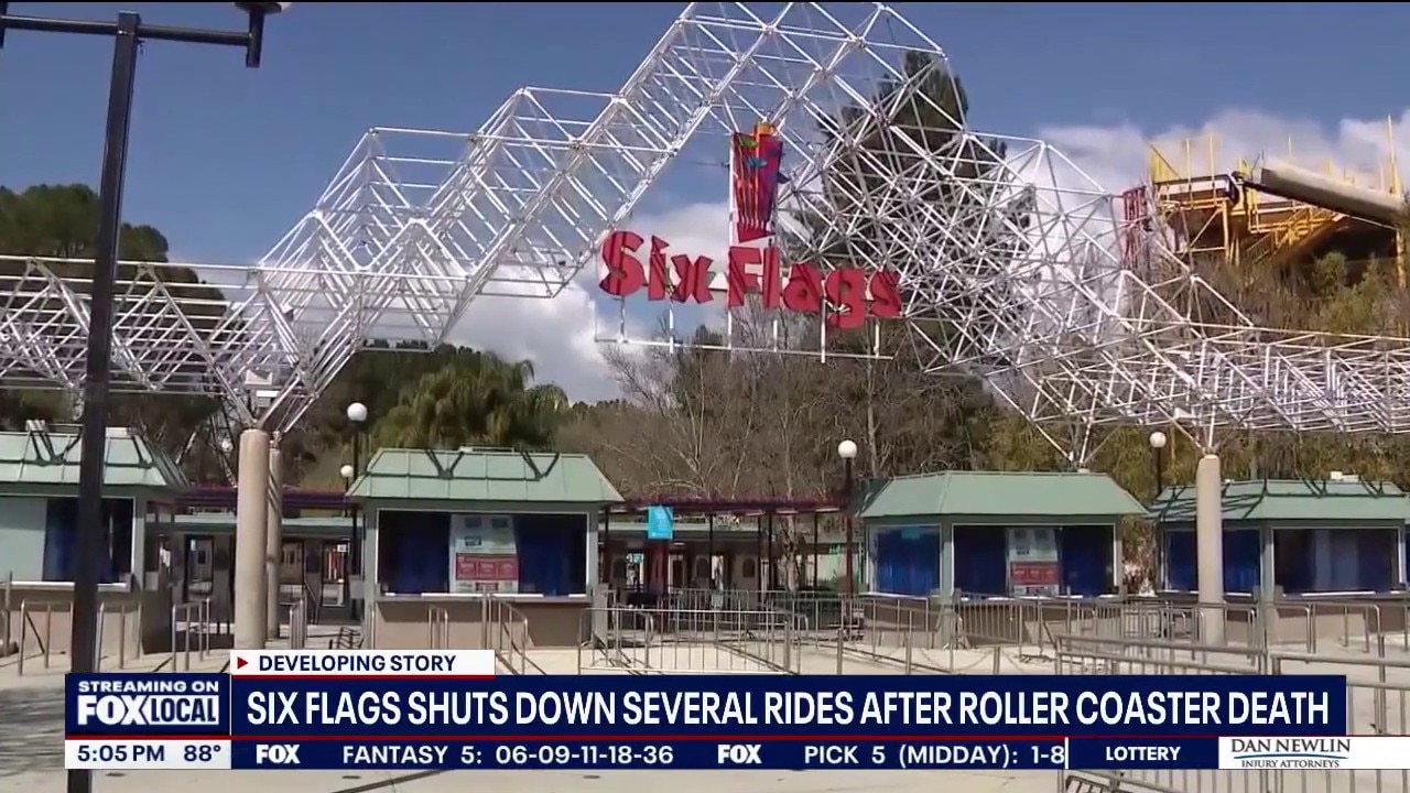
Six Flags shuts down several rides after roller coaster deasth
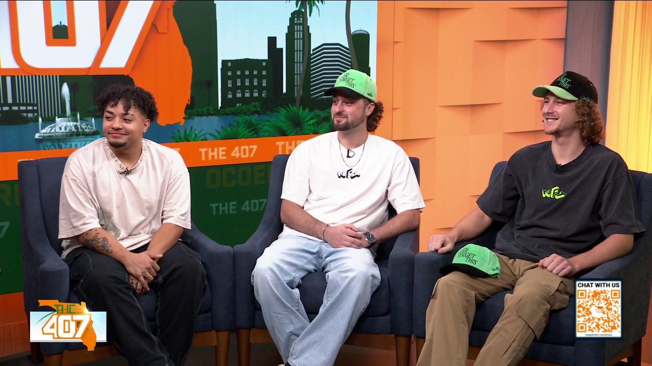
Young Moguls Launch 'Never Forget This' Halloween Fest
Good Day Orlando
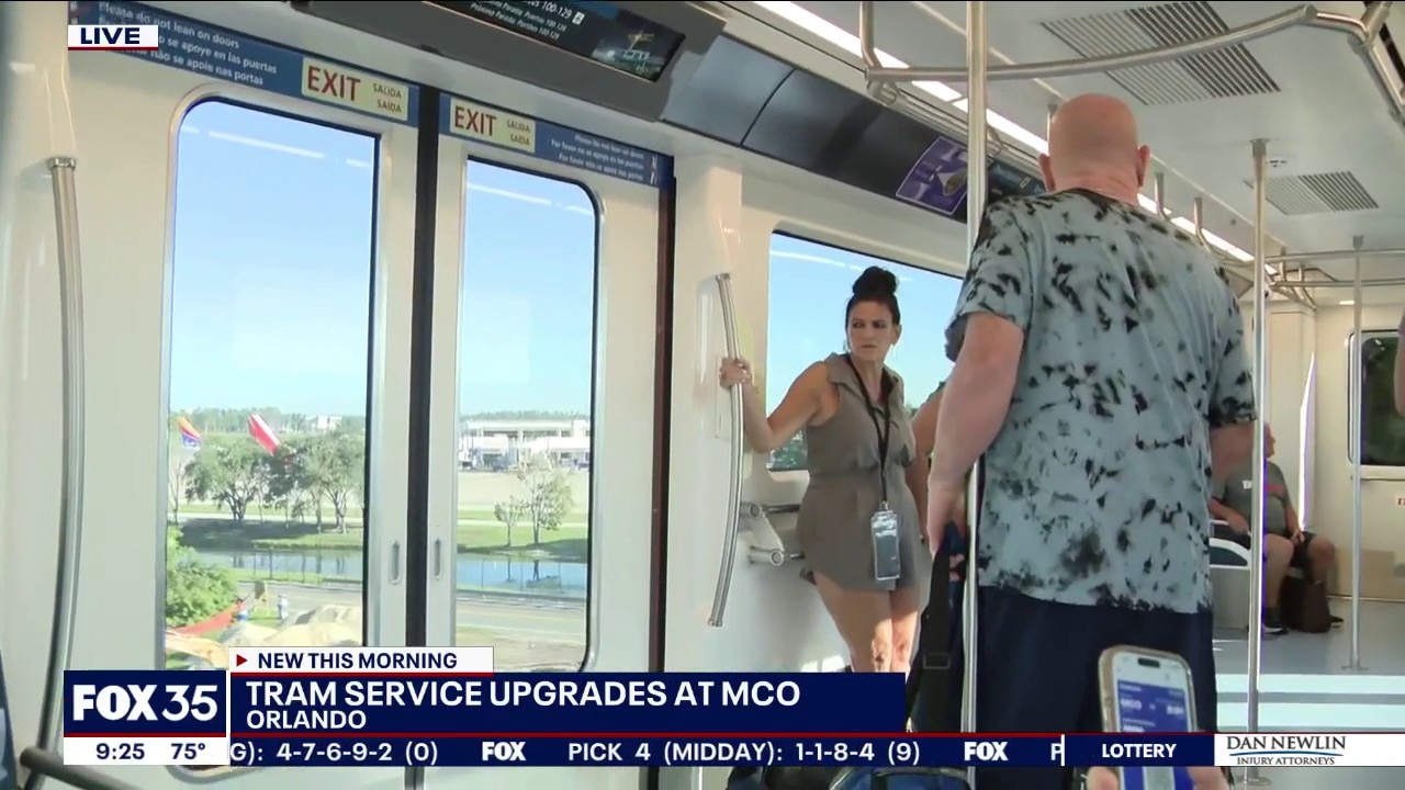
Tram service upgrades at Orlando International Airport
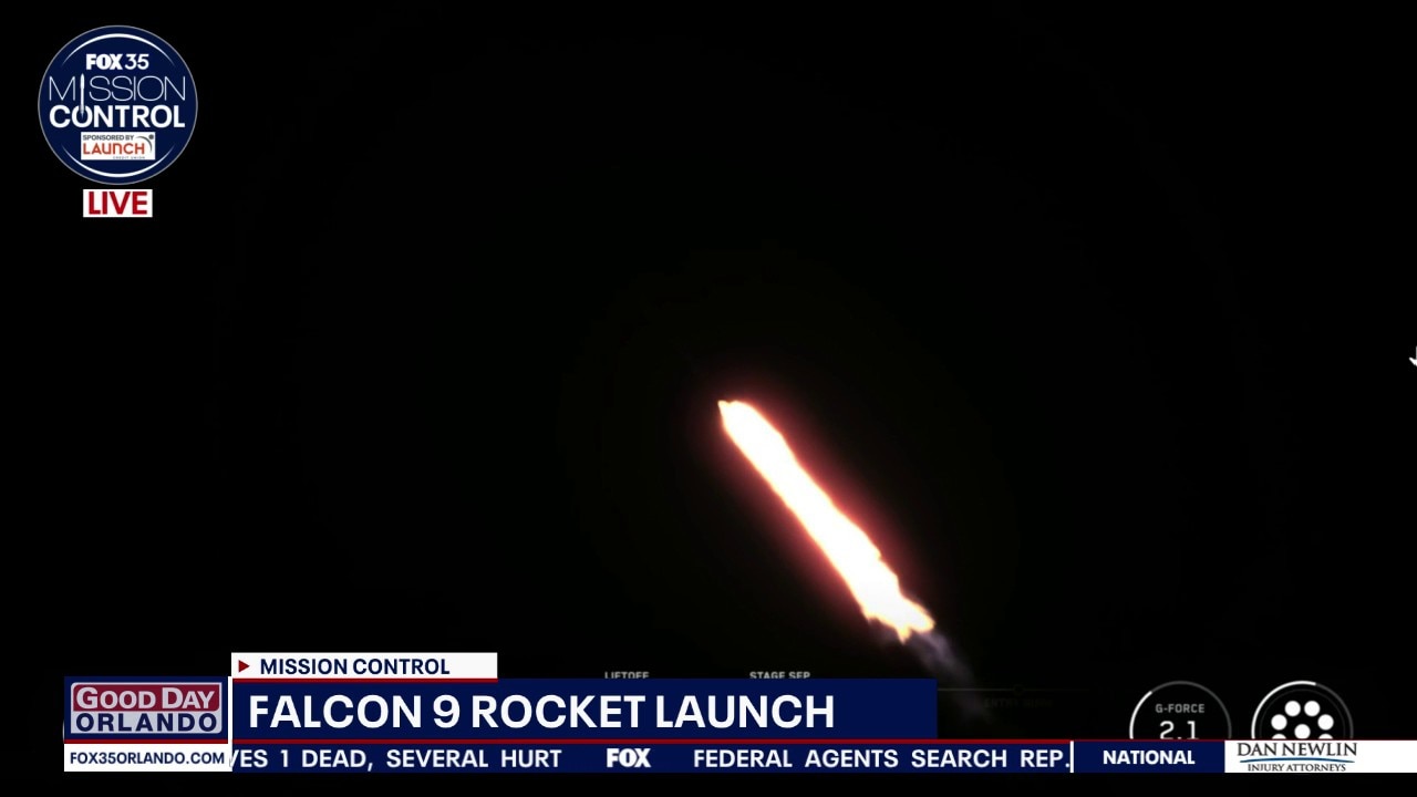
SpaceX launches resupply mission to International Space Station
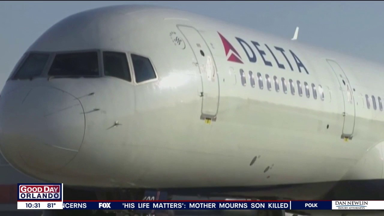
Major Airlines Looking to Offer Customers Best Wi-Fi
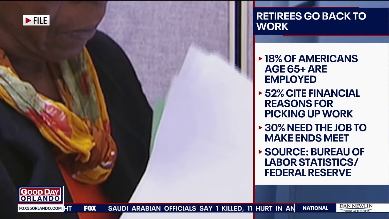
Money Monday: Retirees go back to work
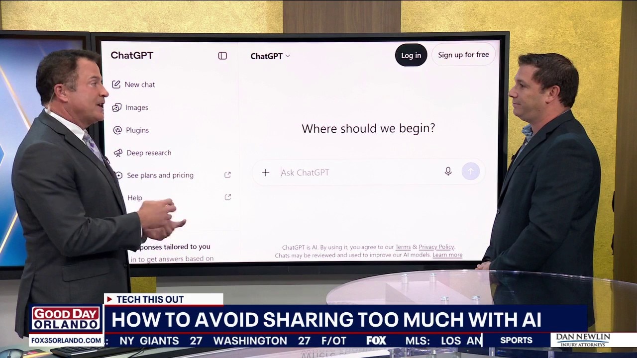
How to avoid sharing too much with AI
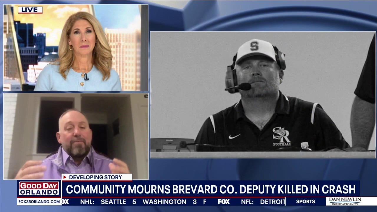
Community remembers Brevard County deputy killed in crash

Football Friday: Lake Mary High vs Seminole High School
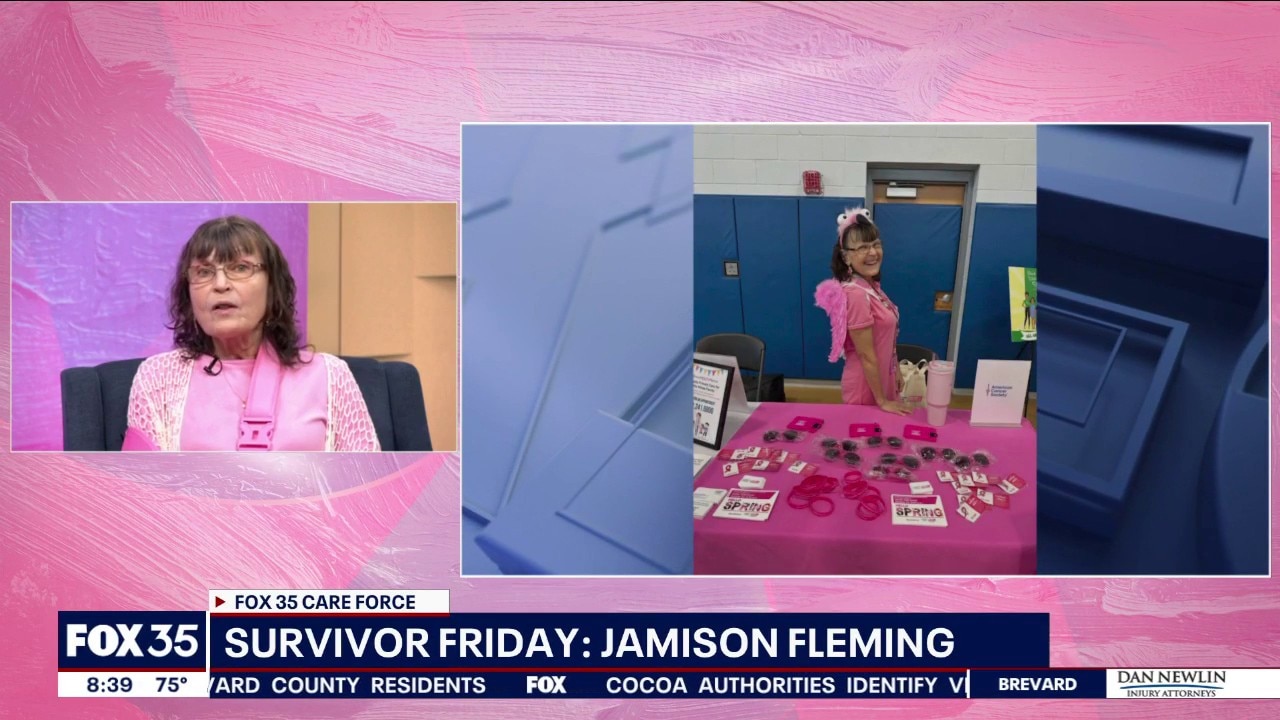
Survivor Friday: Jamison Fleming
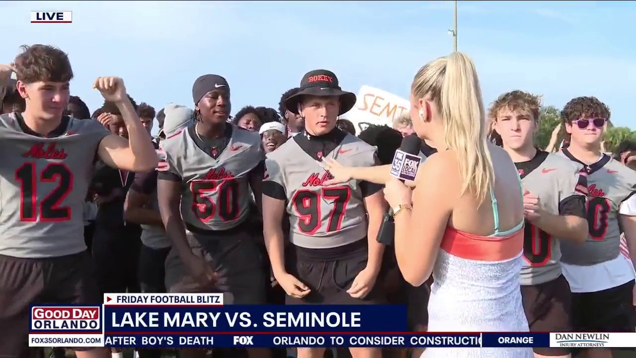
Friday Football Blitz: Lake Mary vs. Seminole high schools
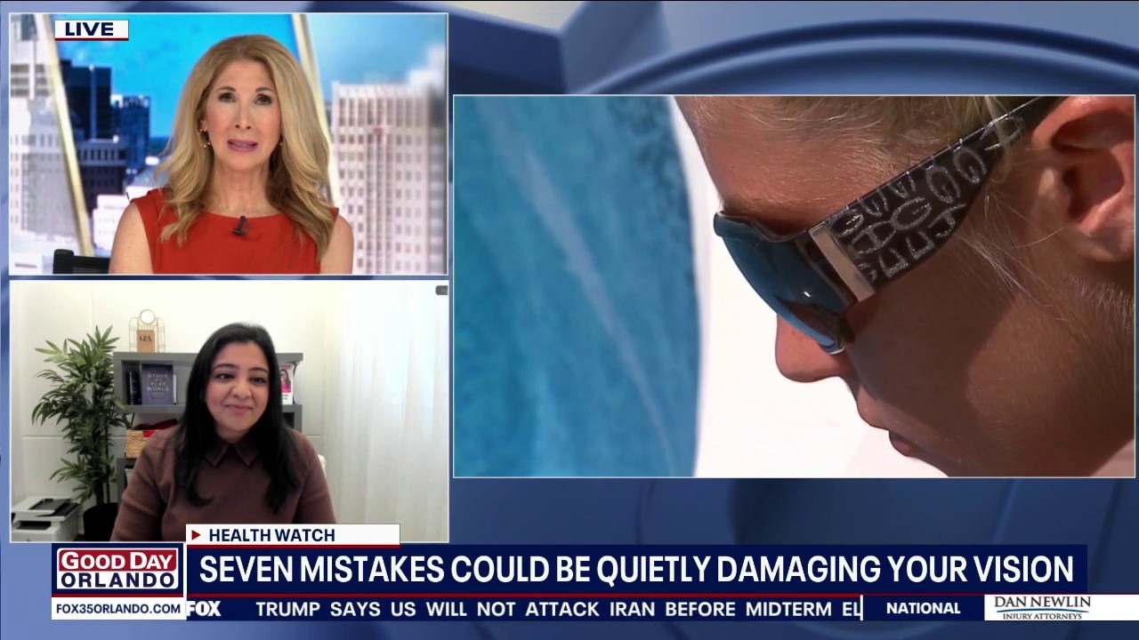
Health: Things that could be damaging your vision

Lake Nona entrepreneur turns The Naked Cupcake into success
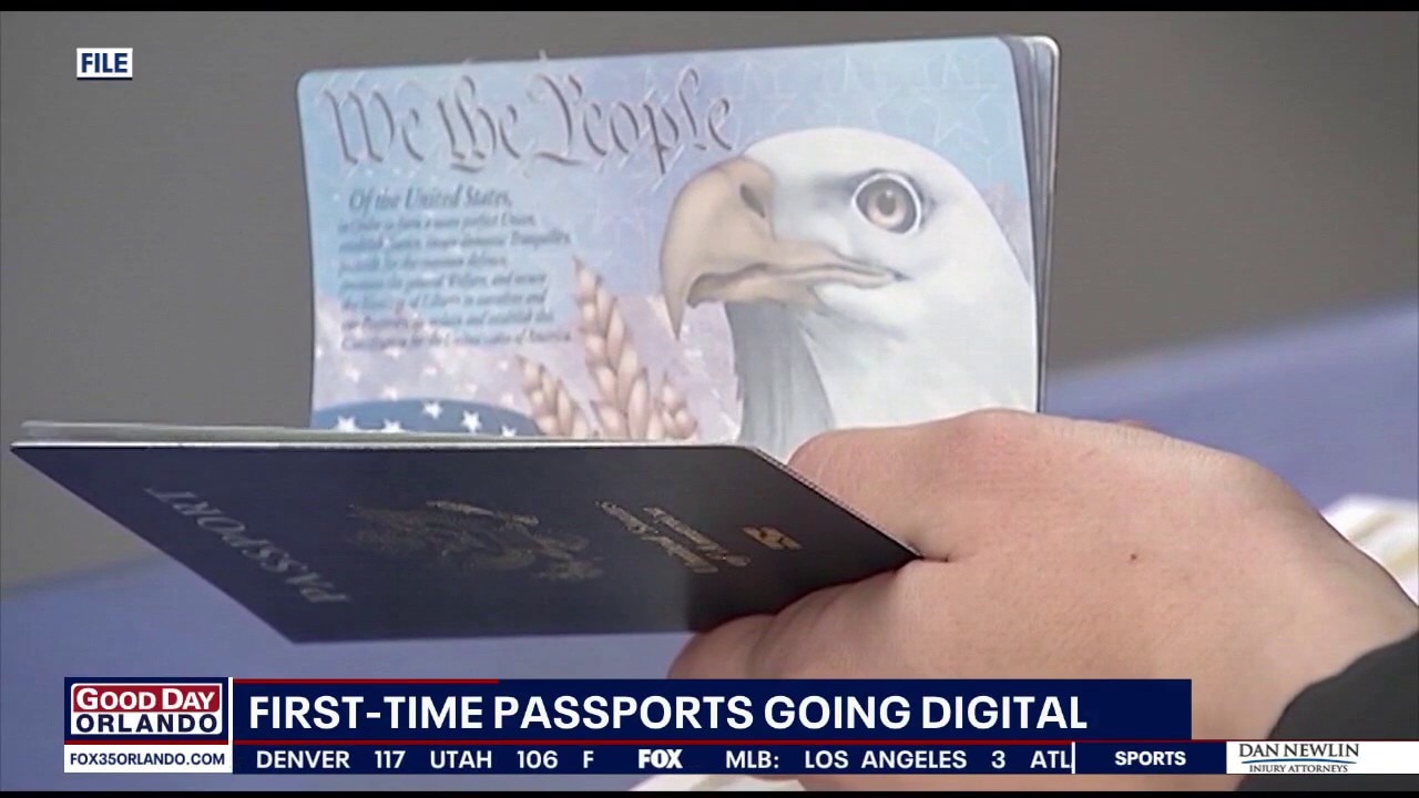
US passport applications going digital
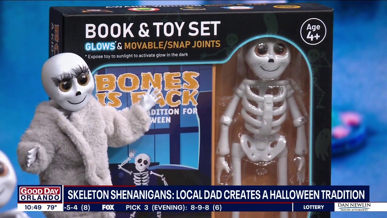
Bones is Back: Florida professor creates skeleton toy
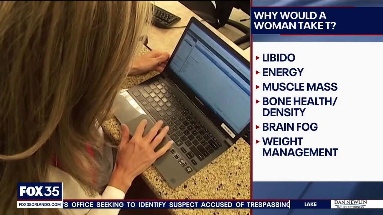
Testosterone therapy for women
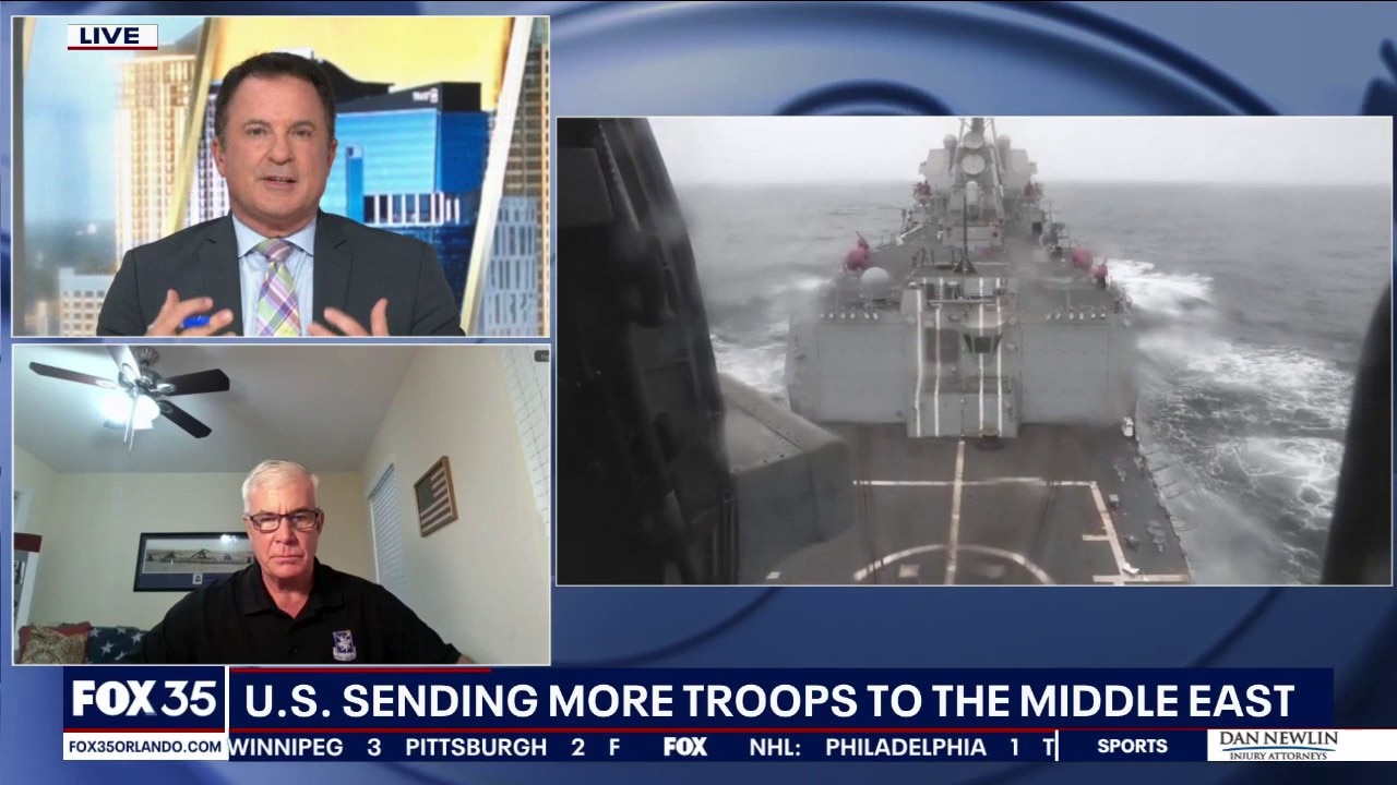
US sending more troops to Middle East after Iraq withdrawal

New Polls Shows Momentum is Shifting ahead of Midterm Elections
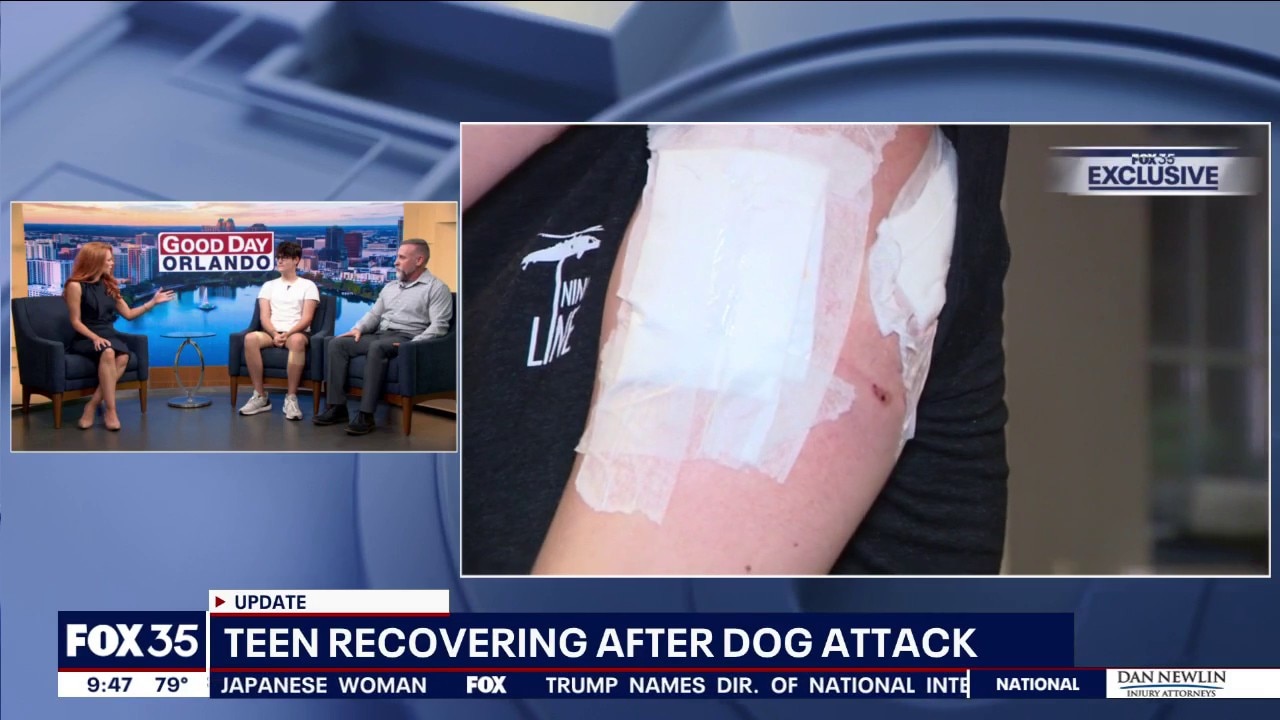
Teen recovering after dog attack
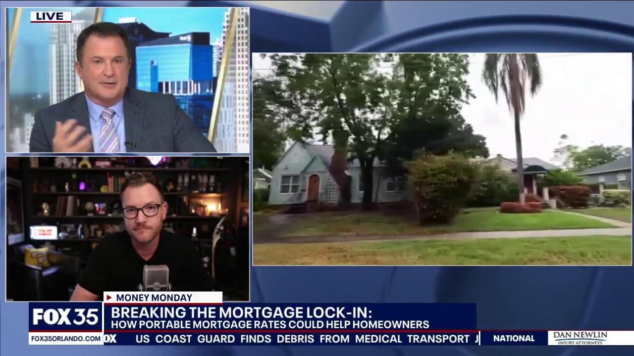
Money Monday: Understanding portable mortgages
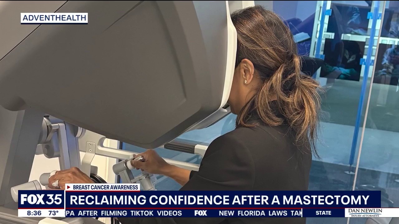
Florida doc leads new breast cancer reconstruction surgery
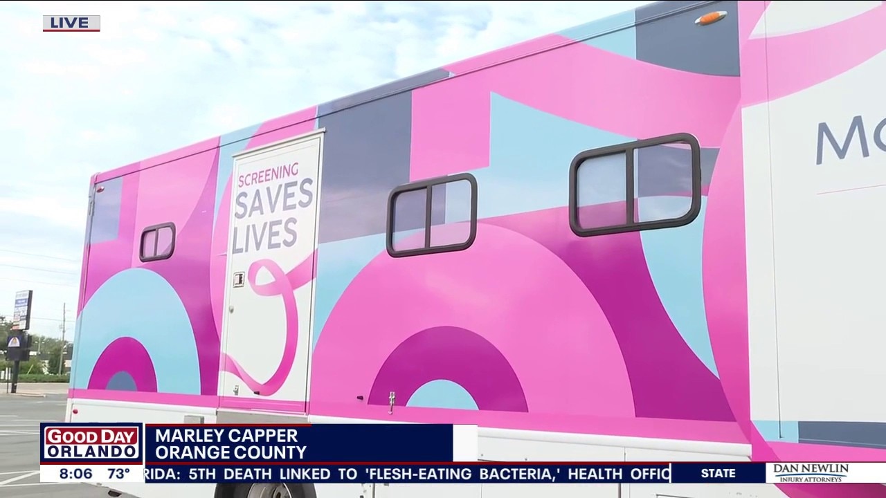
3D mobile mammography bus rolls through Orange County
We Love Florida
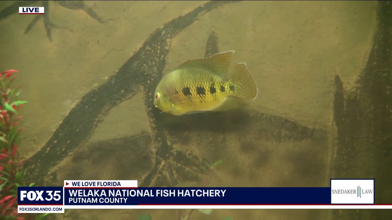
Visiting the Welaka National Fish Hatchery
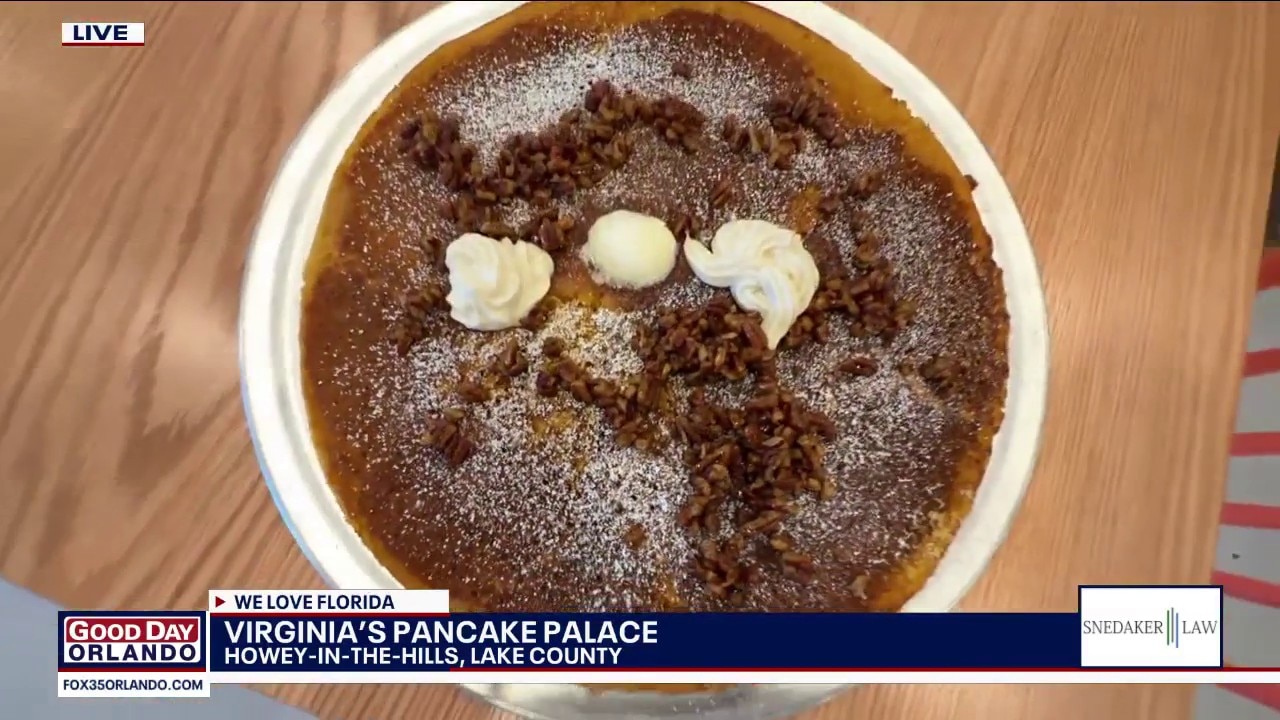
Checking out Virginia's Pancake Palace
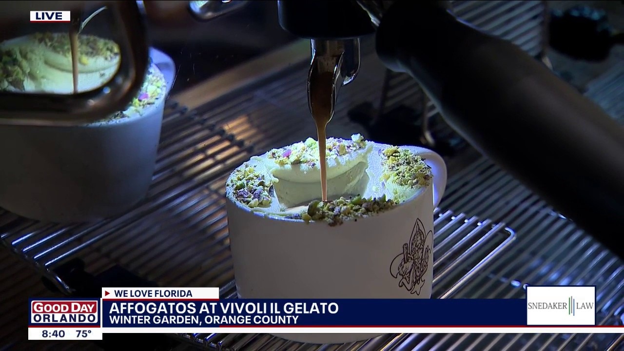
Vivoli il Gelato serving up affogatos
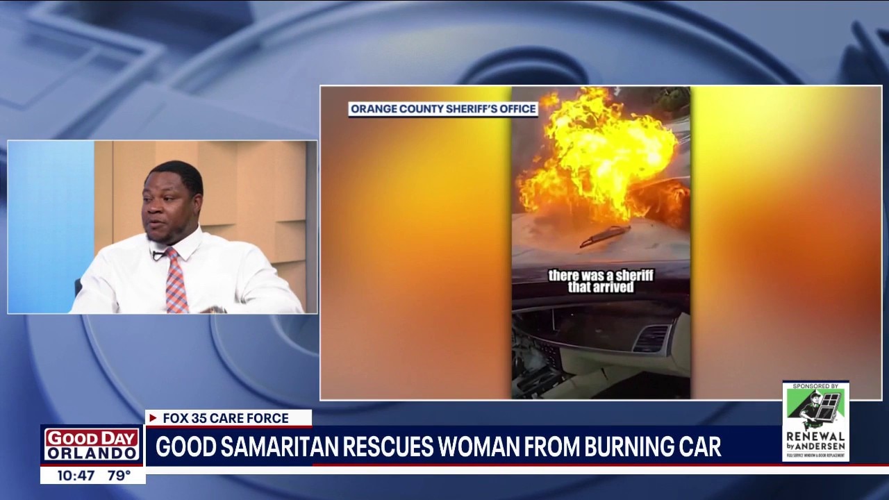
FOX 35 Care Force: Good Samaritan helps rescue woman from burning car
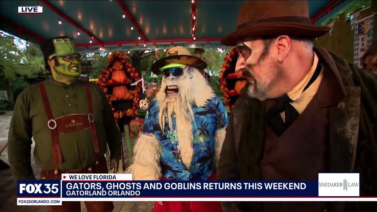
Gators, Ghosts and Goblins at Gatorland
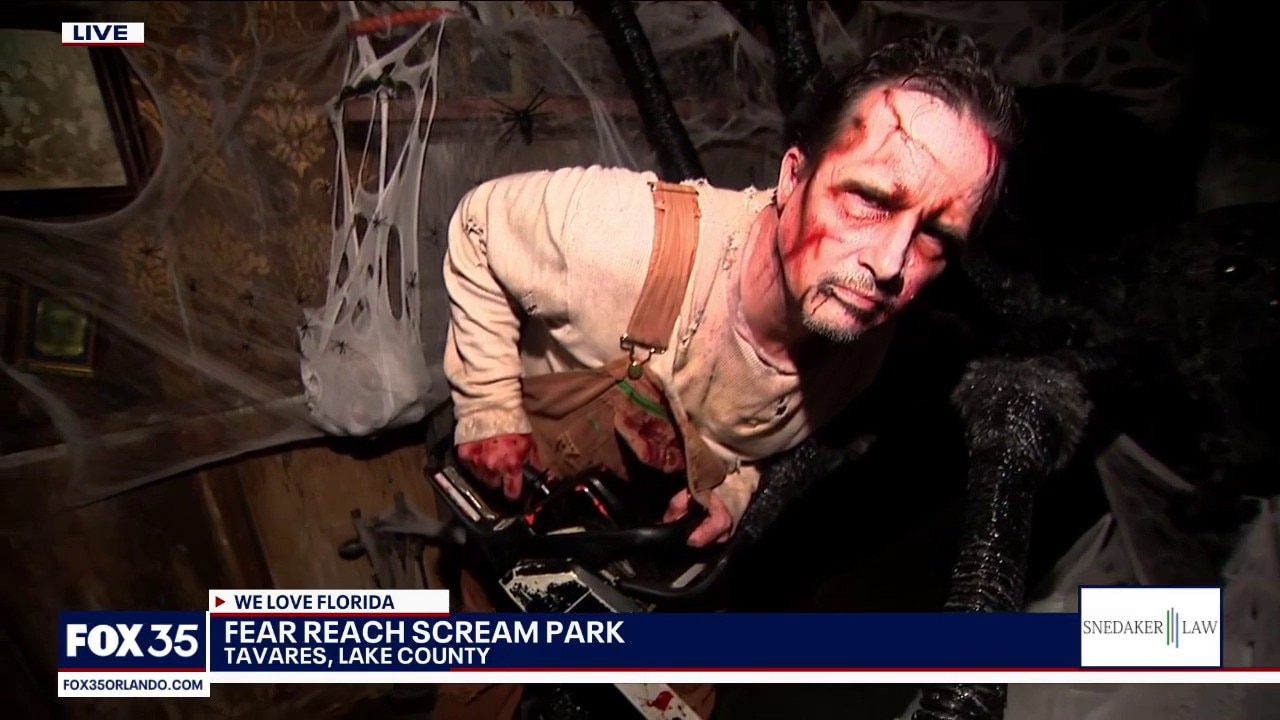
Exploring Fear Reach Scream Park

WonderWorks' dinner show gets Halloween makeover

Join Amy's Army for 2026 Making Strides Against Breast Cancer
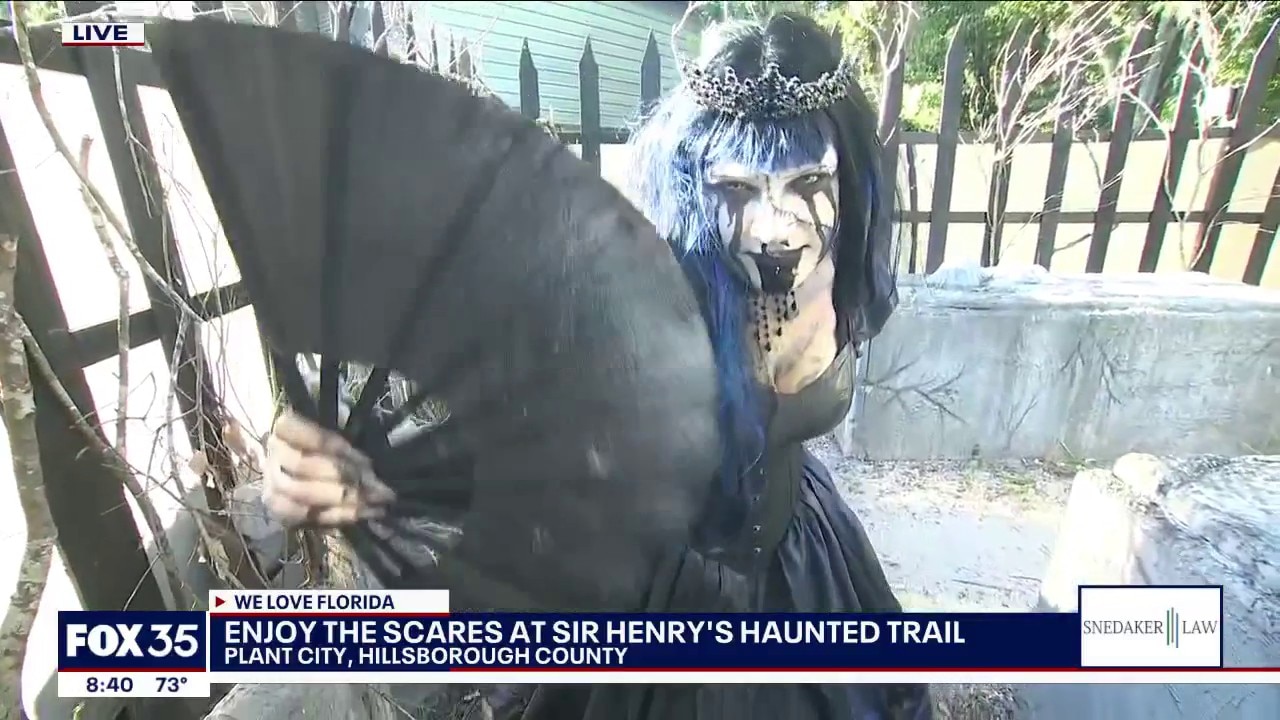
Sir Henry's Haunted Trail unleashes the scares